
8 Best Marine GPS Chartplotters for Coastal Boating (September 2026) Quality Reviews
A bar of falling tide, a fog bank rolling over the bay mouth, and a shoal you cannot see because the water is the same grey as the sky. That is the moment a chartplotter earns its place on a coastal boat. It is also the moment a cheap one stops being useful.
Choosing the best marine GPS chartplotters for coastal boating is not about finding the biggest screen or the longest feature list. Coastal waterways are shallow, tidal, crowded and often unlit, so the questions that matter are whether the display stays readable in direct sun, whether the preloaded charts cover your actual water, and whether the display keeps telling you the truth about your heading and depth when the network goes quiet. We went through the current crop of multi-function displays with that framing, side-by-side, using coastal passage-making as the filter rather than fishing features.
Contents
Before the recommendations, a quick definition block, because this is where most buyers get stuck. A GPS is a position receiver: it tells you where you are. A GPS plotter is that receiver with a screen, showing your track and speed. A chartplotter adds nautical chart data so your position sits on depth contours, hazards and marks. A multi-function display (MFD) is a chartplotter that also pulls radar, AIS, autopilot, engine and sonar data onto one screen over a NMEA 2000 network. A standalone chartplotter is a chartplotter with no sonar built in, used by cruisers who never fish.
If you want the short answer first, the Lowrance Elite FS 10 sits at the top of our coastal list, and the reasoning behind every pick is laid out below. We also cross-referenced our offshore fishing chartplotter picks for readers who split their season between coastal cruising and offshore time, and our marine first aid kit guide covers the other half of coastal trip planning.
Top 3 Picks for Coastal Boating (September 2026)
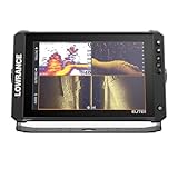
Lowrance Elite FS 10
- Active Imaging 3-in-1 transducer
- 10-inch touchscreen
- C-MAP DISCOVER OnBoard
- NMEA 2000 and Ethernet

Garmin ECHOMAP UHD2 94sv
- 9-inch sunlight-readable screen
- GT56 transducer
- Preloaded Navionics+ coastal charts
- Wi-Fi sharing

Simrad GO9 with HDI Transducer
- 9-inch multifunction display
- HDI CHIRP transducer
- C-MAP DISCOVER charts
- Wi-Fi and NMEA 2000
As an Amazon Associate we earn from qualifying purchases. CERTAIN CONTENT THAT APPEARS ON THIS SITE COMES FROM AMAZON. THIS CONTENT IS PROVIDED 'AS IS' AND IS SUBJECT TO CHANGE OR REMOVAL AT ANY TIME.
Those three cover most of the market. The Elite FS wins on the combination of a large screen, an included wide-band transducer and a full networking stack at a mid-tier price. The ECHOMAP UHD2 94sv wins on out-of-the-box coastal charting and sunlight readability. The Simrad GO9 wins when you want a complete system in the box and the smallest learning curve of the three.
Best Marine GPS Chartplotters at a Glance in 2026
| Product | Features | |
|---|---|---|
| Lowrance Elite FS 10 with Active Imaging 3-in-1 |
|
Check Latest Price |
| Garmin ECHOMAP UHD2 94sv with GT56 |
|
Check Latest Price |
| Simrad GO9 MFD with HDI Transducer |
|
Check Latest Price |
 Simrad NSS12 Evo3S Simrad NSS12 Evo3S |
|
Check Latest Price |
 Lowrance HDS PRO 10 with Active Imaging HD Lowrance HDS PRO 10 with Active Imaging HD |
|
Check Latest Price |
 Lowrance Eagle Eye 9 with C-MAP Charts Lowrance Eagle Eye 9 with C-MAP Charts |
|
Check Latest Price |
 Garmin ECHOMAP UHD2 74cv with GT20 Garmin ECHOMAP UHD2 74cv with GT20 |
|
Check Latest Price |
 Garmin ECHOMAP UHD2 53cv with GT20 Garmin ECHOMAP UHD2 53cv with GT20 |
|
Check Latest Price |
We earn from qualifying purchases. CERTAIN CONTENT THAT APPEARS ON THIS SITE COMES FROM AMAZON. THIS CONTENT IS PROVIDED 'AS IS' AND IS SUBJECT TO CHANGE OR REMOVAL AT ANY TIME.
1. Lowrance Elite FS 10 – Best Overall for Coastal Boating
Lowrance Elite FS 12 Fish Finder, No Transducer, Preloaded…
10-inch multi-touchscreen
Active Imaging 3-in-1 transducer
C-MAP DISCOVER OnBoard
1000 ft max depth
Pros
- Active Imaging 3-in-1 transducer included
- 10-inch multi-touchscreen
- C-MAP DISCOVER OnBoard charts
- Wireless plus NMEA 2000 and Ethernet
- ActiveTarget 2 XL ready
Cons
- Plastic mounting bracket feels cheap
- Button mapping faults on a minority of display
- Rather thin documentation
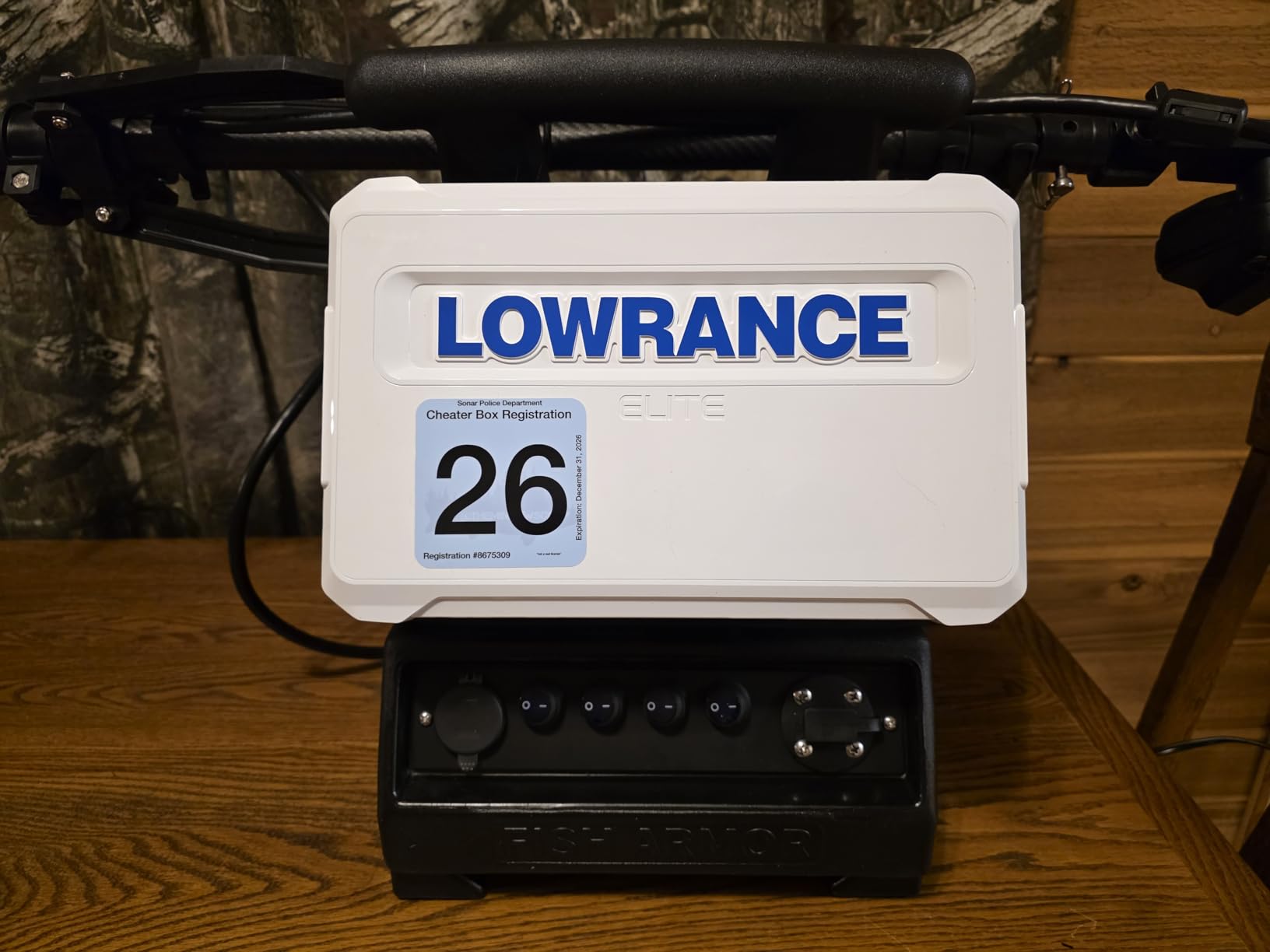
The Elite FS 10 is the display we keep coming back to for coastal work, and the reason is unglamorous: it is the rare unit where the transducer, the chart data and the networking hardware are all in one box and all work. Out of the package you have a 10-inch multi-touchscreen, a 3-in-1 Active Imaging transducer covering CHIRP, SideScan and DownScan, and C-MAP DISCOVER OnBoard charts already loaded. Nothing else to buy to get a working helm.
On a coastal boat the networking story is what separates it from a fish finder. It has wireless, NMEA 2000 and Ethernet, so it can share charts and sonar with a second display, drive an autopilot, or accept radar input. That matters on passages where you want one screen for the chart and another for the forward-looking sonar view, and you would rather not run two brand families.
Sonar performance is the other reason coastal cruisers like it. ActiveTarget 2 and 2 XL readiness means you can add live forward-looking sonar later, which is genuinely useful when you are creeping into a shallow inlet and cannot see the bottom by eye. The 1000 ft maximum depth rating covers nearly all coastal work, and the FishReveal processing separates structure from bait more cleanly than the older single-channel units.
The honest weakness is physical rather than electronic. The supplied mounting bracket is plastic and reviewers consistently call it the part that feels cheapest on an otherwise well-built display. Some buyers also reported units arriving with button-mapping faults, which is a quality-control issue rather than a design flaw, and the documentation is thin enough that you will want an installer who has done one before.
Who this works for: boats from 20 feet up with a shared helm
A 10-inch panel needs real estate. On a 20-foot skiff with a small dash it will feel crowded, but on anything from a 24-foot center console upward, or on a pilothouse with two adjacent cutouts, it is comfortable. Plan the cutout before you buy, because the flush-mount hole is fixed once the console is glassed in.
If your boat already has a NMEA 2000 backbone with a Garmin or Raymarine radar on it, this display will read and overlay that data, though some advanced radar functions stay reserved for same-brand units. For most coastal setups the overlay itself is what you want, and it works.
Who should skip it: tight dashes and single-purpose use
Skiff owners with a bail-mounted console and no room for a permanent panel will find a 7-inch unit far easier to live with, and the weight matters too at 3.7 pounds with a bracket. If you never plan to add radar, an autopilot or a second display, the networking advantage largely goes unused and a smaller screen is the better buy.
2. Garmin ECHOMAP UHD2 94sv – Best for Coastal Cruising Out of the Box
Garmin ECHOMAP UHD2 94sv with GT56 Transducer…
9-inch sunlight-readable screen
GT56 with SideVu
ClearVu
Preloaded Navionics+ coastal charts
Pros
- Sunlight-readable 9-inch touchscreen
- GT56 transducer with SideVu and ClearVu
- Preloaded Navionics+ U.S. Coastal charts
- Built-in Wi-Fi for sharing
- Sharp chart detail
Cons
- Only 1-year limited warranty
- Interface can be fiddly for finding markers
- Screen sits at 9 inches for larger helms
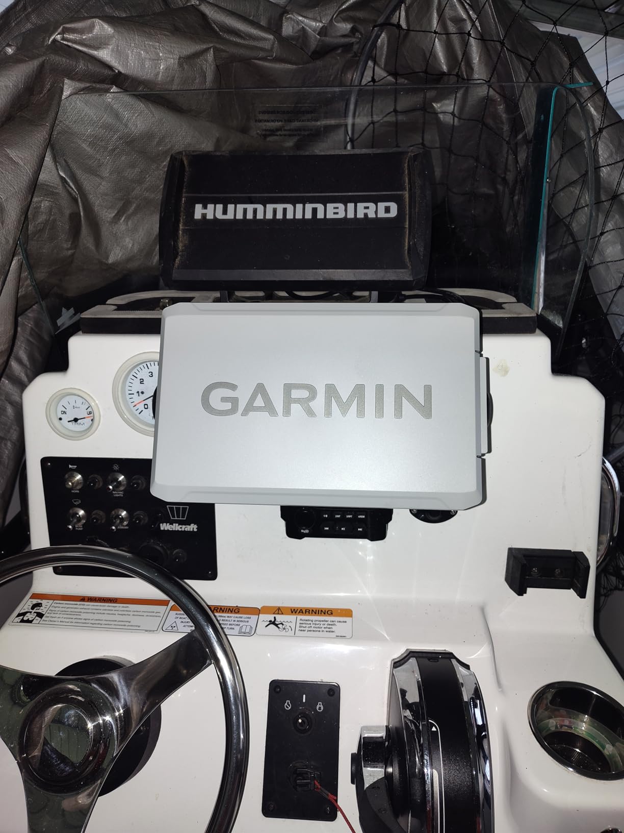
For a boat whose home water is inside the Garmin Navionics+ U.S. Coastal coverage, this is the most frictionless entry point we found. The charts are preloaded, the GT56 transducer is in the box, and the 9-inch display is bright enough to read through polarized sunglasses at a glance. Reviewers consistently single out screen brightness and chart detail as the standouts, which is exactly the pairing coastal navigation depends on.
The GT56 is a step above the GT20 in the smaller Garmin units. It throws Traditional, ClearVu and SideVu, so you get side-scan structure out to the sides of the channel – useful for finding a sandbar entrance or checking that a channel you remembered from last season is still there. If you fish at all, even incidentally, that is the transducer to have.
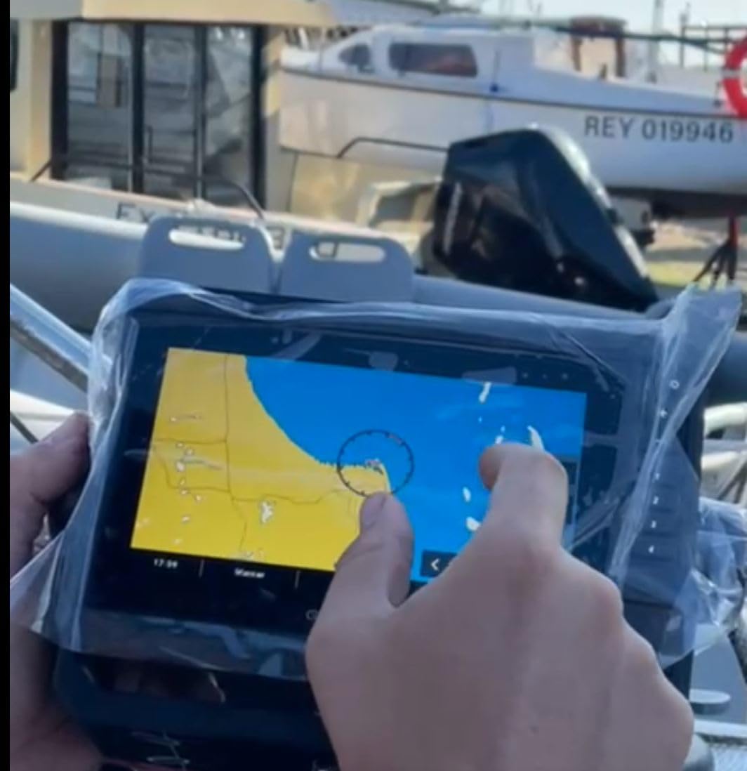
Wi-Fi is built in, which lets you share sonar and waypoints with a phone and push routes to the unit without a card reader. Garmin’s trolling motor integration is also native, so on a bay boat the whole helm can run from one screen. Mounting options include both a tilt bracket and a flush mount, which makes retrofitting an existing console straightforward.
Two caveats. The warranty is a 1-year limited warranty, the shortest of any unit on this list, and in a salt environment that matters more than the number suggests. Reviewers also note the interface takes some getting used to when you are hunting for a specific marker or waypoint, so budget an hour of button time before your first trip.
Who this works for: coastal cruisers who want zero chart setup
If your cruising ground sits inside the preloaded Navionics+ coastal region, you can plug this in on Friday and leave on Saturday. That is a real advantage over buying a display on its bare spec sheet and discovering on the first run that you need a separate chart pack for the water you actually fish.
Owners of older Garmin units consistently report that the ecosystem is familiar, and the installer pool for Garmin gear is the widest of any marine brand we looked at. On a boat that will need a transducer through the hull or a retrofit dash, that local support is worth more than a feature on a spec sheet.
Who should skip it: sailboats needing a hard-wired keypad
This is a touch-only unit. In a heeling sailboat, in spray, with wet hands, a keypad-plus-rotary control scheme like the one on the Simrad NSS evo3 below is easier to work one-handed than a touchscreen that slides around under a wet thumb.
It is also the pick to avoid if the 1-year warranty makes you nervous about a multi-season coastal investment. Simrad and Lowrance models on this list carry 2-year terms, which is a small thing until the display fails in the third season of an ownership cycle.
3. Simrad GO9 MFD – Best Value Complete System
Simrad GO9 XSE Chartplotter and Fishfinder with…
9-inch multifunction display
HDI CHIRP transducer
C-MAP DISCOVER charts
Built-in GPS, Wi-Fi and NMEA 2000
Pros
- Bright clear 9-inch display
- Intuitive interface
- Preloaded C-MAP DISCOVER with bathymetric contours
- Everything needed in one box
- Smartphone mirroring
Cons
- SideScan may not work with the included transducer
- Some owners report lost waypoints and tracks
- Transducer cable can run short on long installs
The Simrad GO9 is the system you buy when you want one box, one brand of installer, and as few decisions as possible. You get the 9-inch multifunction display, an HDI transducer with CHIRP and DownScan, a suncover, a C-MAP Discover chart card, the gimbal bracket and a power cable. The charts include bathymetric contours, which is the feature coastal boaters care about and inland-only units do not offer.
Connectivity is the quiet strength. Built-in GPS, Wi-Fi and NMEA 2000 come standard, and the Simrad app mirrors your phone to the display, so weather, notifications and a second chart scale can sit alongside the navigation screen. It is radar-capable when you are ready to add a dome, which makes it a sensible first step that does not need replacing a year later.
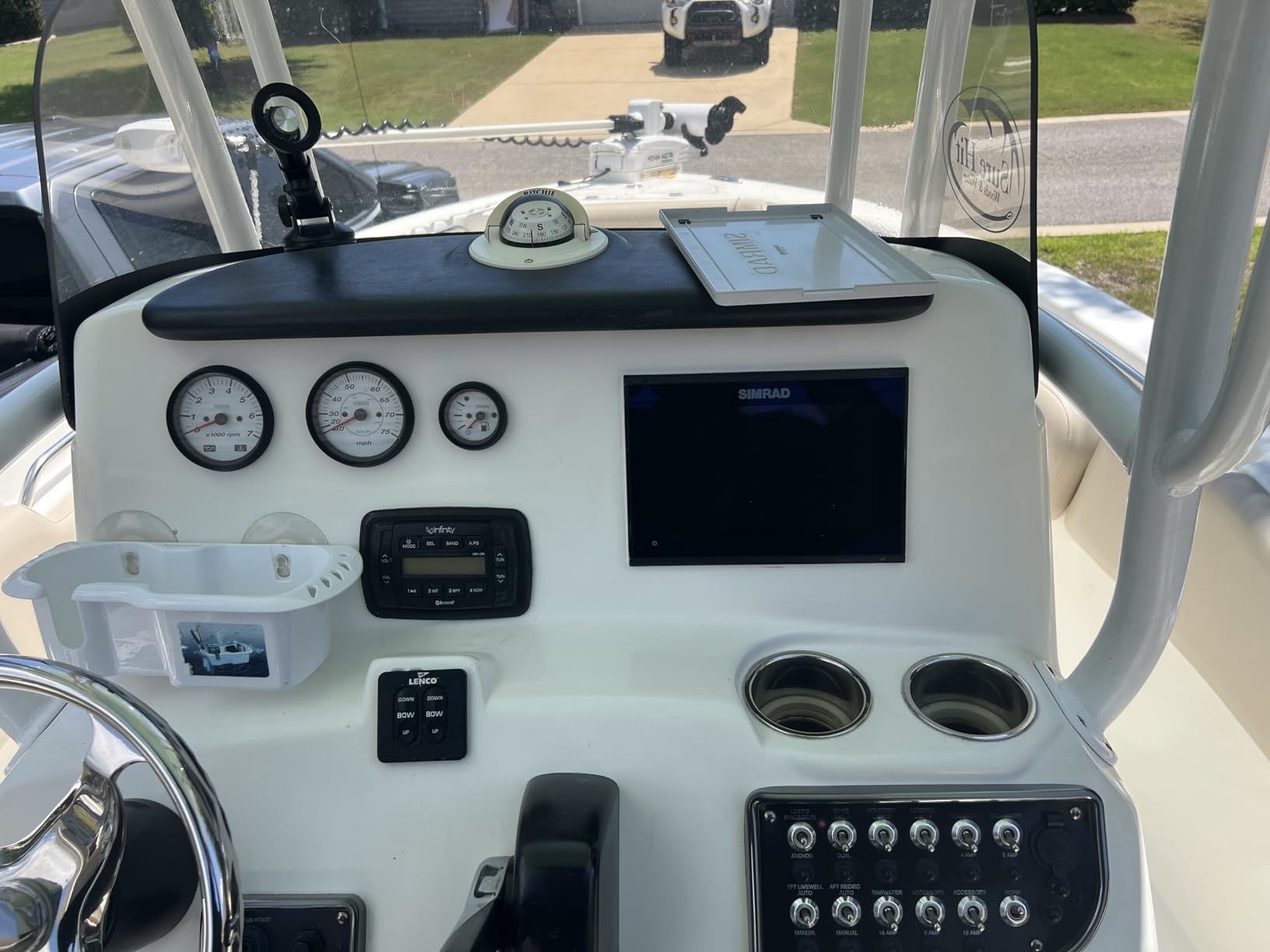
The screen is described consistently as bright and clear, and the interface as the most approachable of the three brands here. First-time MFD owners who have been intimidated by multifunction menus tend to get on with this one fastest, and Simrad customer support also comes up positively in reviews.
There are real complaints worth weighing. A few users report that side-scan does not work with the transducer included in the box, which is a spec-sheet contradiction rather than a fault, and some units reportedly lost waypoints and tracks after a few months. Check your waypoint list after the first season. Depth readings are occasionally reported as inaccurate, and the transducer cable length is short enough to matter on an outboard bracket or a long transom run.
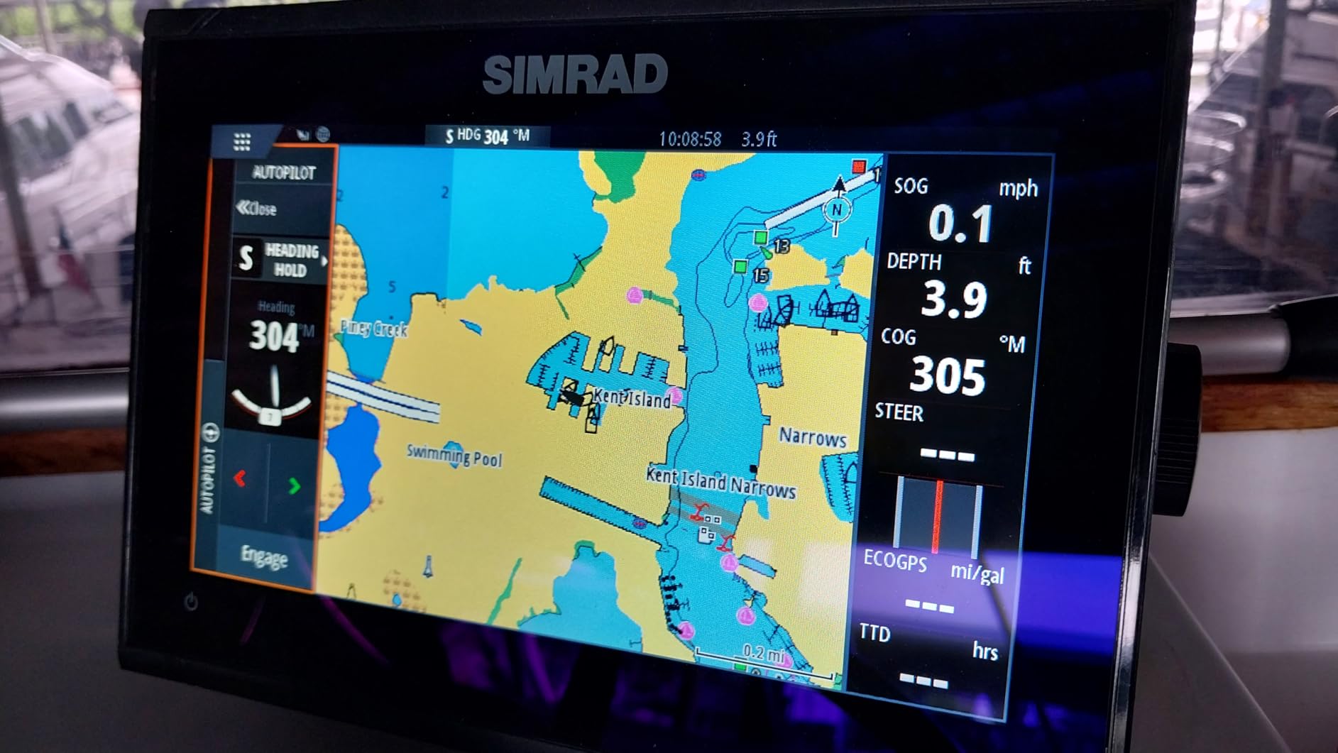
Who this works for: first-time MFD owners upgrading from a handheld GPS
If you have never run a networked display, this is the gentlest on-ramp. The menu structure does not assume you know what a page or a pane is, the whole system works the moment it is powered, and the included bracket means a console-mounted install needs no extra hardware.
It is also the right size for a single-console center console in the mid-twenties. Nine inches is readable from the helm seat in bright sun and small enough not to crowd a curved dash.
Who should skip it: anglers who need side-scan now
If your priority is scanning structure beside the boat, verify transducer compatibility before you commit, because the included HDI unit is the limiting factor rather than the display. Simrad’s wider Active Imaging and StructureScan options unlock that, but they are an extra purchase.
Owners who need a helm they cannot accidentally bump should also look past this one. Simrad owners on sailing forums describe the ecosystem as capable gear, and some report more software rough edges than they get from the other two brands. Reliability is fine; it is the software layer where the complaints cluster.
4. Simrad NSS12 Evo3S – Best for Large Multi-Display Helms
Simrad NSS16 Evo3S – 16-inch Multifunction Fish Finder…
12-inch SolarMax IPS display
iMX 8 processor
Keypad and rotary dial
3000 ft max depth
Pros
- Superior SolarMax IPS display
- Fast iMX 8 processor
- Touchscreen plus keypad and rotary dial
- Deep 3000 ft depth rating
- Ready for StructureScan 3D and HALO radar
Cons
- Box contains the display only
- Mounting bracket not included
- Some buyers report support experiences varied
On a flybridge or a pilothouse where you are running two or three screens, the 12-inch NSS12 Evo3S is the unit that makes the layout work. The SolarMax IPS panel is a step up in brightness and viewing angle from the 9-inch panels, and at 12 inches you can hold a full chart view plus a sonar pane plus a radar overlay without shrinking everything into unreadable thumbnails.
The iMX 8 processor is the reason transitions feel instant. On a chart with heavy detail, paging between zoom levels and switching panes is where lesser processors stutter, and a stuttering helm display on a night approach is a distraction you do not need. The 3000 ft maximum depth rating also covers deep coastal shelf passages and most of what a recreational boat will ever reach.
What makes this the sailing pick is the control scheme. It is one of the few modern MFDs that keeps a physical keypad and rotary dial alongside the touchscreen, and it accepts mapping chips directly for C-MAP or Navionics data. In a heeling boat, in darkness, with cold hands, having a dial you can grab without looking is a genuine safety advantage rather than nostalgia.
Who this works for: dual-helm and flybridge layouts
Reviewers specifically call out running mapping chips and vessel-wide integration, including engine monitoring and sound system control, which is what you want when the MFD is the hub of the boat rather than a navigation accessory. A 12-inch cutout is a permanent change to a console, so measure twice and confirm flush-mount feasibility with your installer before ordering.
If you sail past headlands in reduced visibility, the combination of a bright IPS panel, a hard-wired control surface and radar readiness is the most complete coastal package on this list.
Who should skip it: single-screen boats on a budget
The box contains the display, a power cable, a sun cover, a dash mount kit and edge bezels. No transducer, and on some configurations the mounting bracket is a separate purchase. Add the cost of a wide-band transducer and a mount before comparing this to the combo units above, and the total changes character completely.
It is also a display-only purchase by design, which is exactly right for a sailboat cruiser that never fishes and will add sonar or radar years later. For anyone who needs structure scanning next season, a 9-inch combo is the cheaper path to the same outcome.
5. Lowrance HDS PRO 10 – Best for Live Forward-Looking Sonar
Lowrance HDS PRO 16 Fish Finder with Active Imaging HD…
10-inch SolarMax HD touchscreen
Active Imaging HD 3-in-1 transducer
ActiveTarget 2 and 2 XL ready
C-MAP US and Canada charts
Pros
- SolarMax HD display readable through polarized lenses
- Active Imaging HD 3-in-1 transducer included
- Ready for both ActiveTarget 2 and 2 XL
- C-MAP coverage for US and Canada
- Strong NMEA 2000 integration
Cons
- Region-locked to the Americas
- No printed manual
- Install can be difficult without guidance
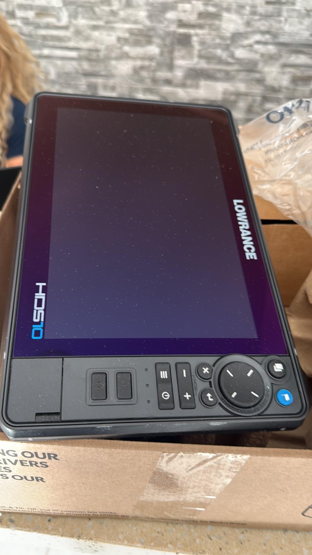
The HDS PRO 10 is the pick when shallow water is the actual problem, not a hypothetical. It supports both ActiveTarget 2 and ActiveTarget 2 XL live sonar, which is the technology that turns a forward-looking view into a moving image of what is between you and the shore. In a bar crossing or an unfamiliar inlet at night, that is the difference between guessing and knowing.
The display is the standout in the specs. Reviewers specifically call out the SolarMax HD panel remaining visible through polarized lenses, which matters because a surprising number of coastal boaters wear polarized glasses and a washed-out screen in that condition is genuinely unusable. The Active Imaging HD 3-in-1 transducer is included, and the depth rating covers everything from a tidal flat to an offshore shelf.
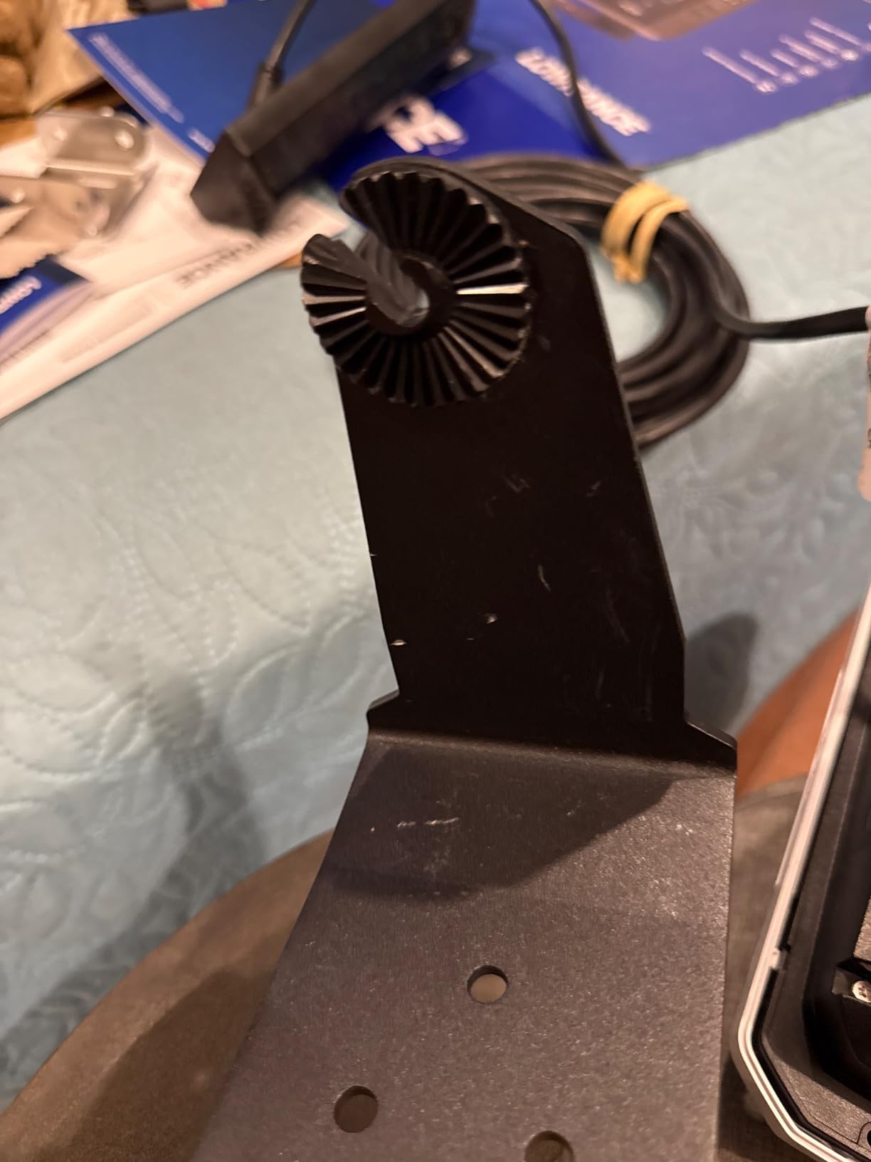
Chart coverage is the strongest of any unit here, with C-MAP DISCOVER OnBoard preloaded covering more than 19,000 US lakes and over 9,400 Canadian ones, plus smartphone integration over Bluetooth and Wi-Fi. If your boating crosses the border, that coverage alone settles the argument.
Two limitations are worth being blunt about. The unit is region-locked to the Americas, so it becomes effectively inactive if you relocate or cruise outside that region. Documentation is vague and no hardcopy manual is included, so a first-time MFD owner should budget real setup time or pay for an install that walks you through it.
Who this works for: boaters running shallow coastal routes
Live forward sonar is most valuable where the chart is least certain: shifting bars, dredged channels that silt up, and approaches that were navigable five years ago but not today. On those routes, seeing the bottom ahead of the boat beats any chart accuracy debate.
Lowrance HDS owners on cruising forums consistently praise the GPS accuracy of this brand and the radar overlay behaviour, particularly on earlier HDS models. That reputation carries into this unit, and the NMEA 2000 integration is described as excellent.
Who should skip it: cruisers outside the Americas
Region locking is a hard stop, not a preference. Anyone planning extended trips to the Mediterranean, the Caribbean beyond coverage limits, or Southeast Asia should read the fine print before buying, because a display that deactivates outside its region is a very expensive paperweight.
It is also the lowest-rated unit on this list at 4.1, and the complaints cluster around setup rather than day-to-day running. Budget for the install, not just the box.
6. Lowrance Eagle Eye 9 – Best for Bay Boats and Lakes
Lowrance Eagle Eye 9 Live Sonar Fish Finder with C-MAP US…
9-inch IPS display
Live Forward and Live Down sonar
CHIRP with DownScan FishReveal
Direct transducer connection
Pros
- Live Forward and Live Down sonar
- All-in-one transducer
- 9-inch IPS display
- Preloaded C-MAP charts
- Simple direct connection
Cons
- Charts cover US inland waters only
- 500 ft maximum depth
- 2-year warranty
The Eagle Eye 9 is a fish finder that happens to chart, and for a lot of bay and lake boats that is exactly the right ratio. The direct transducer connection is the headline: it removes the separate sonar module, the extra cable run and the second mounting point that a networked combo unit needs. Installation is genuinely a weekend project rather than a shop job.
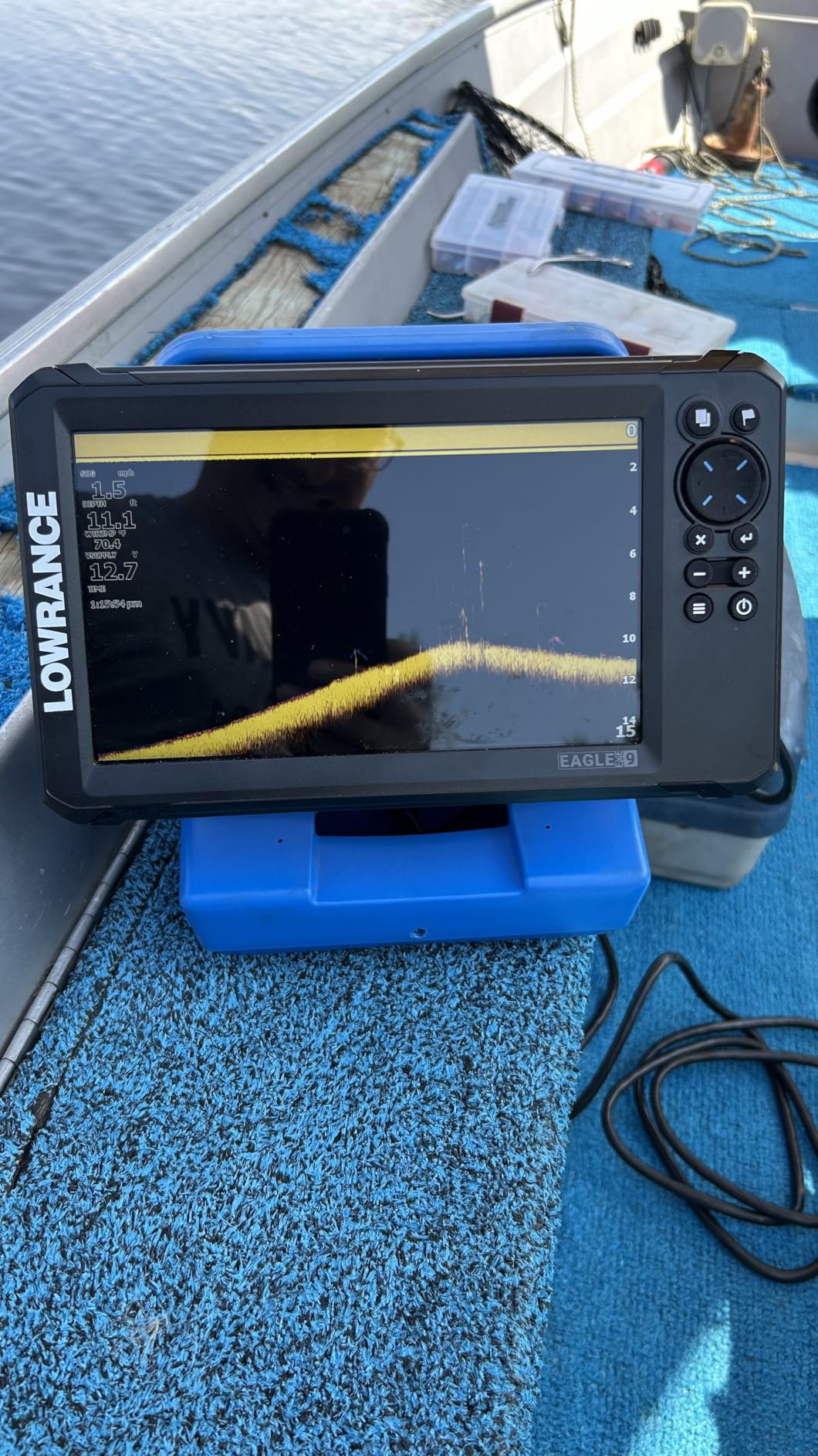
Live Forward and Live Down sonar give you a moving picture of structure and fish in real time, and FishReveal processing on the DownScan channel makes suspended fish easier to pick out from vegetation and drop-offs. The 9-inch IPS panel is described as having good visibility, and at 2 pounds it is light enough for a small skiff or a pontoon console.
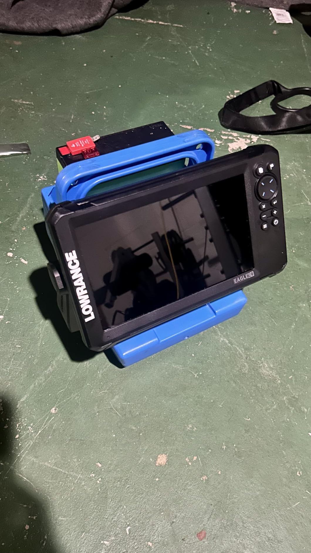
Genesis Live mapping lets you record your own contours as you fish, which is how most inland and bay captains find the spots they return to. The simplicity is the appeal: reviewers describe the setup as straightforward and the direct connection as removing the usual source of installation frustration.
The limitation is categorical, not a matter of degree. The preloaded C-MAP charts cover US inland waters, more than 17,000 lakes, and not coastal saltwater. The 500 ft maximum depth also rules it out for anything past the flats. If your boating includes open coastal water, this is the wrong display regardless of how good the sonar is.
Who this works for: skiffs, pontoons and bay boats
Bay and lake skippers navigate by landmark and personal knowledge far more than by chart, so the chart coverage on this unit is not the reason to buy it. The reason is live sonar, a 9-inch screen you can actually see in daylight, and a weight that suits a small console.
It is also the easiest unit here to move between boats, which matters if you swap craft seasonally or run a rental.
Who should skip it: anyone leaving the marked channel
The moment your route crosses open coastal water, you need coastal chart coverage, a deeper depth rating and a display that will accept radar and AIS traffic. None of that is here, and no software update will add it.
Buy it for what it is, a very good inland sonar and chartplotter, and keep a separate plan for offshore navigation rather than assuming the unit will stretch.
7. Garmin ECHOMAP UHD2 74cv – Best for Tight Center Console Helms
Garmin ECHOMAP UHD2 74cv
7-inch display
GT20-TM transducer
CHIRP traditional and ClearVu
Preloaded Navionics+ coastal charts
Pros
- Preloaded Navionics+ U.S. Coastal and Great Lakes charts
- 7-inch display with good visibility
- GT20-TM transducer with CHIRP and ClearVu
- Wi-Fi for sharing between displays
Cons
- ClearVu only with no SideVu on this model
- Basic feature set against higher models
- No keypad or rotary control
The 74cv is the Garmin answer for a helm that cannot physically take a 9 or 10-inch panel. Seven inches is still large enough to read a route and a depth number at a glance from the helm seat, and small enough to bail-mount on a console without hogging the dash. The preloaded Navionics+ coastal and Great Lakes coverage means it is ready for open water on day one.
Sonar is CHIRP traditional plus ClearVu, which gives you forward-looking structure detail and a clean picture of what is directly below. That is a sensible coastal package. What you do not get is SideVu, so scanning to the sides of the channel for a sandbar is off the table on this model.
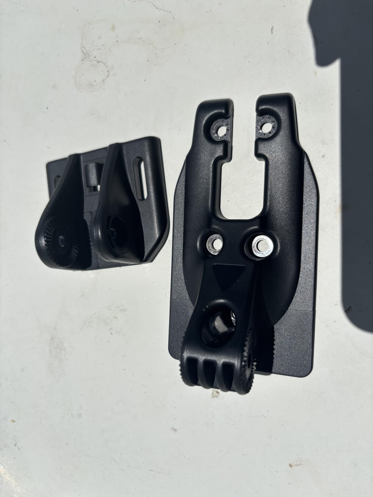
Wi-Fi lets you share data between compatible Garmin chartplotters, so a second small unit on another part of the boat stays in step with the helm. The flush and bail mount options make it the easiest of the Garmin units to retrofit onto an existing console where cutting glass is not an option.
The feature set is basic next to the UHD2 94sv above. There is no keypad, so it is touch-only, and the networking is a single NMEA 2000 port rather than the fuller stack on the larger models. For a single-helm boat that runs coastal day trips, it is enough.
Who this works for: single-console boats with a small dash
The 7-inch footprint is the whole argument. On a 20-foot center console or a bay boat where every inch of console counts, a 9-inch display looks out of place and steals sightlines you want for spotting shoal water. This one fits and does the navigational job properly.
It is also the sensible stepping stone if you already own a Garmin and want the second display on the boat to look and behave like the one at the helm.
Who should skip it: anglers needing side-scan
If you fish structure on the move, the missing SideVu channel is a real limitation rather than a checkbox. The 94sv in position two, or the Lowrance Elite FS, both deliver wide-beam side imaging from the box.
Coastal sailors should also note this is touch-only with no physical control, which makes the Simrad NSS evo3 a better match for a heeling cockpit.
8. Garmin ECHOMAP UHD2 53cv – Best Budget Entry Point
Garmin ECHOMAP UHD2 53CV Chartplotter/Fishfinder
5-inch IPS display
GT20-TM transducer
CHIRP UHD and ClearVu
Wi-Fi connectivity
Pros
- Compact 5-inch IPS display at 16 oz
- CHIRP UHD traditional and ClearVu sonar
- Preloaded Garmin Navionics+ charts
- Wi-Fi data sharing
- Easy to install and use
Cons
- Inland charts only on this listing
- ClearVu with no SideVu
- Small screen limits split views
The 53cv is the cheapest way to get a real Garmin chartplotter on a boat instead of a handheld GPS, and at 16 ounces it is the unit you can put in a kayak, a small skiff console or a backup station anywhere. The 5-inch IPS panel is small but genuinely colour and readable, and reviewers describe the install and day-to-day use as straightforward.
Sonar is CHIRP UHD traditional plus ClearVu scanning, which is respectable for the tier and perfectly adequate for depth and structure directly beneath the boat. Wi-Fi lets you share charts and waypoints with a second compatible Garmin, so it can be the secondary screen rather than a throwaway.
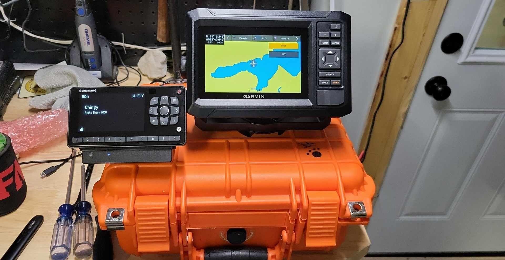
Be clear-eyed about the two limitations. This listing ships with preloaded Garmin Navionics+ U.S. Inland mapping, not coastal charts, so buying it for coastal work means adding the right chart data yourself. And a 5-inch panel leaves very little room for split views, so you will be switching between chart and sonar rather than watching both at once.
For coastal boating, we would use it as a second helm or a backup station alongside a chartplotter, not as the primary navigator. That is a legitimate role, and arguably a useful one given how often owners report primary displays failing mid-season.
Who this works for: backup stations and small craft
A redundant navigation screen on a second helm, a flybridge or a skiff is a genuinely good use of a small display, and reviewers praise the low weight and easy installation for exactly this. Kayak and small-boat owners get a proper chartplotter at a weight they can actually carry.
It is also the sensible first marine electronics purchase for anyone who is unsure whether they will keep the boat, since it is the least costly way to find out.
Who should skip it: primary coastal navigation
Five inches at arm’s length is a real constraint in a following sea or in a cockpit heeled over, and the inland chart coverage on this listing rules it out for saltwater without an added chart card. If coastal navigation is the job, spend up to the 74cv or the 94sv and get a 7 or 9-inch screen with coastal charts already loaded.
ClearVu only, no SideVu, so the structure-scanning side of the equation is closed off entirely on this model.
How to Choose a Chartplotter for Coastal Water
Screen size is a helm decision, not a spec sheet decision
Seven inches is the minimum that works for coastal navigation, nine is comfortable, and twelve is what a multi-display flybridge layout needs. The number that matters most is how far you sit from the screen and whether the console can physically take the cutout.
Measure the dash, check the sun angle at your usual running time of day, and buy the suncover that ships with the unit. A 12-inch panel bolted to a 9-inch console looks like a mistake and can obstruct your view of the water forward.
Decide whether you need sonar at all
Most coastal cruisers never fish, and sonar is the single largest cost driver in these systems. A chartplotter-only display skips the transducer, the cable run and the extra mounting work, and the money saved is better spent on radar or a second screen.
If you do want structure scanning, buy a combo with a modern wide-band transducer in the box rather than a bare display. Side-scan, not just forward-looking ClearVu, is the feature that changes day-to-day use on coastal water.
Ecosystem lock is the decision most buyers regret
Which chartplotter is better, Garmin or Simrad? The honest answer is that Garmin is the most widely supported brand for installation and long-term parts availability, while Simrad and Lowrance are capable ecosystems with strong value. Coastal owners on sailing forums describe the choice less about raw features and more about who can service the boat nearby.
NMEA 2000 is the open standard that makes cross-brand systems possible, and a modern display will read and display another brand’s GPS, heading and depth data over it. The friction is in the advanced features: radar overlay controls, remote keypads and some autopilot functions tend to work best within one brand family. The same forum consensus flags NMEA 0183 to NMEA 2000 bridges and multiplexers as the most common source of dropped heading data and failed radar overlay, so treat a mixed-brand helm as a deliberate project, not a savings strategy.
If you are starting from scratch, stay inside one ecosystem and you will have the widest installer pool and the least troubleshooting. If you already have Garmin radar on an older Garmin display, a new Garmin unit is the lowest-friction upgrade.
Chart subscription cost matters more than the display
Every display here except two lists preloaded charts, and preloaded coverage is a starting point rather than a lifetime solution. C-MAP, Navionics and Garmin’s own chart options all run on annual subscription models once you want current bathymetric data for a region, and that cost recurs for as long as you own the boat.
Budget it as an annual line item and compare it against what the display cost you over the same period. Coastal cruisers who change waters every season pay more than those who stay in one region, and displays with the largest preloaded libraries, like the Lowrance HDS PRO, reduce that pressure where you can stay inside the region.
Radar, AIS and transducer pairing
Is radar on a boat worth it? For coastal boating in anything beyond flat calm daylight, yes. Radar is what finds the boat you cannot see in fog or darkness, and the radar overlay on the chart is what turns that from a separate screen into a single picture of your surroundings.
You do not need the radar to be the same brand as the display, but the overlay, gain controls and target controls are simplest when they are.
Installation reality: glare, power and the transducer
The transducer is where DIY installs go wrong. A through-hull transducer needs a correctly sized hole below the waterline in a location clear of strakes, with the correct sealant and bedding compound, and a professional should do it if you have never cut a hull. A transom mount is easier but limits the boat to shallow draft operation.
Cable length is the second trap. The transducer lead shipped in the box is sized for a simple transom install, and a longer run to a hardtop or a helm two stations forward will need additional cable that the display manufacturer expects you to source. Power draw is the third: a 10 or 12-inch IPS panel running sonar and radar together is a real load on a house bank, so check your charging capacity before you commit to a multi-display layout.
Reliability, Software Updates and Losing Data Offshore
Reliability ranks above features in almost every long-term ownership report from cruising forums, and the failure categories owners describe are consistent enough to plan around.
The one to plan for is firmware. Multiple owners across brands report that an update broke a system that had been working fine, and a widely discussed case involved a Garmin update that locked displays out of their built-in charts and required a hardware swap. The current generation of units, rather than the decade-old models that case involved, is a different matter, but the lesson stands: update at the dock, on shore power, with your charts and waypoints backed up, and never mid-passage.
The second is data integrity. Owners describe displays that show a zero or a dash for a failed heading or depth sensor instead of raising an alarm, and software that will quietly dead-reckon on poor GPS input. That behaviour means a fault can be invisible until you notice you have been following a straight line for ten minutes. Test your heading sensor and your depth alarm deliberately, and treat a missing readout as a fault rather than a display glitch.
The third is charting reality on the water. Forum consensus has moved well past the idea that a chartplotter is the only navigator. Coastal cruisers increasingly run a tablet or phone as a primary or secondary screen at a different scale, and keep the dedicated MFD as the reliable backup with the radar overlay. If you are buying one display, choose a 9-inch or larger so it can hold a full chart view and a radar overlay at once, rather than something that becomes a single-purpose screen.
Our towable tube guide covers the other half of a family’s time on the water, and our water tube picks go deeper on on-water safety gear for coastal trips.
Frequently Asked Questions
What is the best marine GPS chartplotter for the money?
For most coastal boaters the best value is a mid-tier 9-inch combo unit that includes a wide-band transducer and preloaded coastal charts. The Simrad GO9 and the Lowrance Elite FS 10 are the two that ship complete, and either one avoids the extra cost of a bare display plus a separate transducer purchase. Add a budget for an annual chart subscription and a professional transducer install, and the mid tier still lands well below the flagship units without losing the networking you need for radar later.
What is the difference between a GPS plotter and a chartplotter?
A GPS plotter shows your position, track and speed on a plain screen. A chartplotter adds nautical chart data, so your position sits on depth contours, hazards and navigation marks. Most modern displays are both, which is why the terms get used interchangeably.
Which chartplotter is better, Garmin or Simrad?
Garmin is usually the easier choice because the installer and parts network is wider and coastal charts come preloaded. Simrad is the better value when you want a complete system in one box and the simplest interface. Both speak NMEA 2000, so either will read another brand’s GPS and depth data, though advanced radar and autopilot functions work most smoothly within one brand family.
Which chartplotter is best for sailing?
The Simrad NSS Evo3S is our sailing pick because it keeps a physical keypad and rotary dial alongside the touchscreen, and that is easier to use one-handed in a heeling cockpit than a wet touchscreen. Its 12-inch SolarMax IPS panel stays readable in low light, and it accepts mapping chips. The Lowrance Elite FS 10 is the alternative if you want sonar in the box at a smaller footprint.
What is the best budget marine GPS chartplotter?
The Garmin ECHOMAP UHD2 74cv is the best budget coastal option, with a 7-inch screen and preloaded Navionics+ coastal and Great Lakes charts. The 53cv is cheaper still but is a backup or small-craft unit with inland charts. Neither gives you SideVu, so anglers scanning structure should step up a tier.
Is radar on a boat worth it, and does it have to match the display brand?
For coastal boating in fog, darkness or rain, radar is worth it, and the overlay on the chart is what makes it useful rather than a separate screen. It does not have to be the same brand, but radar controls and advanced overlay functions are simplest when the display and scanner are from the same family. Any NMEA 2000 display will still show radar targets and distance rings from another brand.
Do I need a chartplotter with sonar if I only cruise?
No. A standalone chartplotter without sonar will run charts, GPS, radar overlay, AIS and autopilot, and it saves the cost of a transducer, its cable run and the hull work to install it. Buy sonar only if you want forward-looking or side-scan structure, or if you plan to fish at all.
Final Verdict
The best marine GPS chartplotters for coastal boating in 2026 come down to what your helm looks like and how far you actually go. The Lowrance Elite FS 10 is our overall pick: a 10-inch screen, an included wide-beam transducer, real networking and the most owner history on this list at 515 reviews. The Garmin ECHOMAP UHD2 94sv is the pick for coastal cruisers who want preloaded coastal charts and a screen rated for direct sunlight, and the Simrad GO9 is the best-value complete system you can install in a weekend.
For a large flybridge or dual helm, the Simrad NSS12 Evo3S is the one that lets you run multiple screens, and its keypad-plus-rotary control is the safest choice in a heeling sailboat. The Garmin ECHOMAP UHD2 74cv is the sensible budget coastal unit, and the 53cv earns its place as a backup station rather than a primary navigator.
Whichever you choose, buy the screen your console can take, install the transducer properly, and update the software at the dock with your charts backed up. That last habit has saved more coastal trips than any model on this list.
