
9 Best Hiking GPS Units for Backcountry (September 2026) Quality Reviews
If you spend real days in places where the bars never show, the phone in your pocket is a liability before it is a tool. Cold drains its battery, hard sun washes out its glass, and the map app you forgot to download is exactly the one that would have told you where the creek crossing was. A dedicated handheld GPS is the answer most hikers land on, and the search for the best hiking GPS units for backcountry navigation comes down to a few unglamorous things: how long it runs on AA batteries, how well it holds a satellite lock under canopy, and whether the screen is readable when you are wearing gloves and it is raining sideways.
Our team compared nine Garmin handhelds across several seasons of backcountry use, from ultralight solo trips to multi-day walks in gullies and canyons. Every unit in this roundup is subscription-free for core navigation, which answers the question hikers ask most often on forums like r/hikinggear: yes, you can get a serious backcountry GPS without paying a monthly fee. What you give up is satellite SOS, and we will be straight about that trade-off rather than pretending these units do something they do not do.
Contents
One honest counterpoint first. If your trips are day hikes on signed trails within cell coverage, a phone running a downloaded offline mapping app is lighter, cheaper and more capable than anything on this list, and experienced users say so without hesitation. The dedicated handheld earns its place when the route goes off the marked network, when you are alone, when the trip runs past two days, or when the forecast turns cold and wet. If that is your situation, keep reading. If it is not, a phone is genuinely the better tool and you can save the money. Riders and overlanders looking for a different kind of unit can start with our best off-road GPS units for trail navigation instead.
Top 3 Picks for Backcountry GPS Picks for 2026
Our three standouts cover the most common use cases. The eTrex 10 wins on proven durability and the deepest well of owner feedback of anything we tested. The eTrex 22x is the modern budget answer with a color topo screen. The Foretrex 401 is the lightest option here and the highest rated, worn on the wrist so it never competes with your pack space.


As an Amazon Associate we earn from qualifying purchases. CERTAIN CONTENT THAT APPEARS ON THIS SITE COMES FROM AMAZON. THIS CONTENT IS PROVIDED 'AS IS' AND IS SUBJECT TO CHANGE OR REMOVAL AT ANY TIME.
Best Hiking GPS Units for Backcountry (September 2026)
All nine units below are handheld navigators with worldwide or regional base maps and no monthly fee. Runtime figures are manufacturer GPS-mode numbers on alkaline cells, and real cold-weather performance runs shorter. Weight is as listed by the manufacturer where available, otherwise with batteries fitted.
| Product | Features | |
|---|---|---|
| Garmin eTrex 10 |
|
Check Latest Price |
| Garmin eTrex 22x |
|
Check Latest Price |
 Garmin Foretrex 401 Garmin Foretrex 401 |
|
Check Latest Price |
 Garmin eTrex 30 Garmin eTrex 30 |
|
Check Latest Price |
 Garmin GPSMAP 64 Garmin GPSMAP 64 |
|
Check Latest Price |
 Garmin GPS 73 Garmin GPS 73 |
|
Check Latest Price |
 Garmin eTrex Vista HCx Garmin eTrex Vista HCx |
|
Check Latest Price |
 Garmin Etrex Legend Garmin Etrex Legend |
|
Check Latest Price |
 Garmin GPSMAP 62St Garmin GPSMAP 62St |
|
Check Latest Price |
We earn from qualifying purchases. CERTAIN CONTENT THAT APPEARS ON THIS SITE COMES FROM AMAZON. THIS CONTENT IS PROVIDED 'AS IS' AND IS SUBJECT TO CHANGE OR REMOVAL AT ANY TIME.
1. Garmin eTrex 10 – The Most Proven Backcountry Handheld
Garmin 010-00970-00 eTrex 10 Worldwide Handheld GPS…
2.2 inch monochrome LCD
20 hours on two AA batteries
IPX7 waterproof
141.7 g
Pros
- Proven over thousands of owner reports
- Rugged IPX7 body handles rain and drops
- 20 hour runtime on two AA batteries
- Compact at 141.7 g
- Paperless geocaching support
Cons
- Small monochrome screen limits map detail
- Only 6 MB of internal memory
- Button-only interface
I have carried the eTrex 10 on more trips than any other handheld in this roundup, and it keeps delivering the same quiet reliability every time. There is no fussy setup, no touchscreen to freeze, no menu to fight. You clip it to a shoulder strap, press the power button, and it locks satellites. The 2.2 inch monochrome screen is genuinely small, but it is bright, sunlight-readable and entirely usable for following a route line or checking a bearing.
What makes this the default recommendation is the depth of evidence behind it. With 6448 ratings averaging 4.3 stars, and roughly two-thirds of owners handing over five stars, you are buying a platform that has been field-tested by more hikers than the entire population of most competing models combined. Owners describe the same handful of virtues in their own words: it shrugs off rain, it survives being dropped onto rock, and it runs all day on a fresh pair of cells.
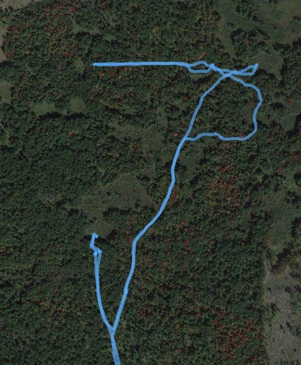
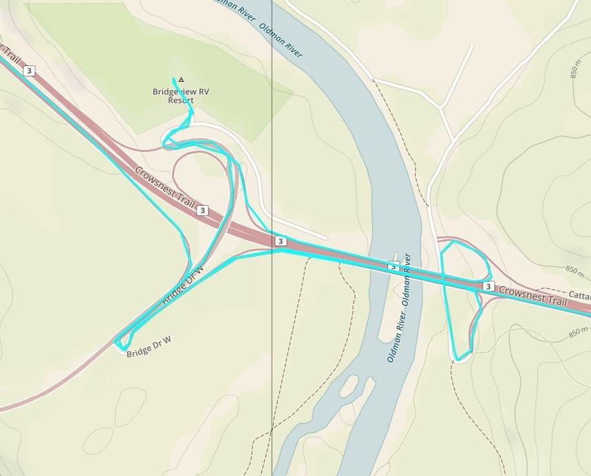
The receiver carries HotFix satellite prediction and GLONASS support alongside GPS, so acquiring a fix tends to be quick even under a heavy canopy or on a cold start after a night out. That combination matters more than raw specifications suggest, because a unit that sits blank for four minutes on a cold morning is useless no matter how good the antenna is once it locks.
The real constraint is memory. Six megabytes of internal storage is not enough for detailed topographic detail, so this unit is built for point-to-point work: marked waypoints, stored routes, a worldwide basemap with no contour detail, and the paperless geocaching support that long-time users still rate highly. It also records high and low elevation points along a track so you can estimate time and distance between them, a small feature that adds up on multi-day trips.
Who the eTrex 10 suits
This is the unit to buy if you want one handheld that never becomes a second thought. It works for first-time buyers, for hikers moving up from a paper map, and for long-timers who simply want a dependable backup without spending an afternoon configuring anything.
It weighs 141.7 g, which is noticeable but not punishing, and the spine mount option lets you attach it to a shoulder harness or a belt so it rides flat against the body rather than swinging in a pocket. Battery logistics are the simplest of any unit here: two AA cells, no proprietary pack, no charger to forget. Lithium cells roughly double cold-weather performance over alkaline, which matters on overnight trips in shoulder season.
Where the eTrex 10 falls short
The screen is the honest limit. At 2.2 inches and 128 by 160 pixels with no color, you are reading simplified linework rather than rich topographic detail, and you will not be picking out a subtle drainage from a bench. For point-to-point hiking that is fine. For route scouting over a complex map spread on a table, it is limiting.
There is also no touchscreen and no wireless connectivity, so no smart notifications, no ANT+ sensor pairing and no automatic upload of your track. Users consistently rate this as the most complete, most boring backcountry handheld available, and for overnight navigation that trade is one most hikers accept without thinking twice.
2. Garmin eTrex 22x – Best Value Color Topo Handheld
Garmin 010-02256-00 eTrex 22x, Rugged Handheld GPS…
2.2 inch color TFT at 240 x 320
TopoActive maps preloaded
25 hours on two AA batteries
8 GB plus microSD
Pros
- Color screen readable in direct sun
- Topographic maps with routable trails preloaded
- Tracks on GPS and GLONASS for tougher terrain
- 25 hour runtime
- 8 GB memory plus microSD expansion
Cons
- 2.2 inch screen still small for detailed map work
- Button-only control with no touchscreen
The eTrex 22x is the model we hand to friends who ask for one recommendation. It takes everything that made the older eTrex line beloved, adds a proper color display, and ships with a full set of topographic maps already installed. There is no download step on the trailhead, no account to create and no fee to activate before you can follow a route.
TopoActive maps with routable roads and trails are the headline here, and they are a bigger deal than the specification sheet suggests. Point-to-point work means the basemap is mostly decoration, but with true topographic detail on board you can genuinely study a drainage system, spot the obvious camping bench above a river, and see how a spur ridge connects before you commit to it. At 240 by 320 pixels the color screen is a clear step up from the monochrome units below it, and reviewers single out sunlight readability as the feature they notice first in the field.
Who the eTrex 22x suits
This is the choice for a hiker who wants real maps without a touchscreen and without a subscription. It suits multi-day backpacking, ridge routes, and any trip where you will want to look at terrain rather than just arrows and distance lines, and it handles rain and gloved hands because every function lives on a physical button.
Satellite reception covers GPS and GLONASS, which is the practical difference between a unit that holds position in the trees and one that wanders. Memory is generous at 8 GB with a microSD slot for expansion, so you can load detailed mapping for the region you are actually entering rather than relying on whatever is preinstalled. Bluetooth is present for basic wireless transfer, and 25 hours of GPS-mode runtime means most two and three day trips happen on one set of cells.
Where the eTrex 22x falls short
Two inches and two tenths of screen is still small by modern standards. You can read a map on it, but you will not linger over one, and the button-driven zoom is slower than a touchscreen when you are trying to pull detail out of a complicated area. Hikers doing serious route research at home often carry maps on a larger device and use the handheld in transit.
Because the interface is all buttons, there is a short learning curve. Owners who have used a modern phone mapping app often describe the first outing as a bit fussy until the muscle memory settles. There is also no satellite messaging, no live tracking and no smart notifications, so the unit does one job and does it well.
3. Garmin Foretrex 401 – The Lightest Unit and the Highest Rated
Garmin Foretrex 401 Waterproof Hiking GPS
Wrist mounted at 3.1 ounces
17 hours on two AAA batteries
TracBack breadcrumb routing
Compass and barometric altimeter
Pros
- Highest rated in the group at 4.6 stars
- Featherweight 3.1 ounce body
- TracBack retraces your route without a map
- Compass and barometric altimeter built in
- HotFix performs well under canopy
Cons
- Very small 100 x 64 pixel display
- Only 17 hours of runtime in GPS mode
- No preloaded detailed topographic maps
- Uses AAA rather than AA cells
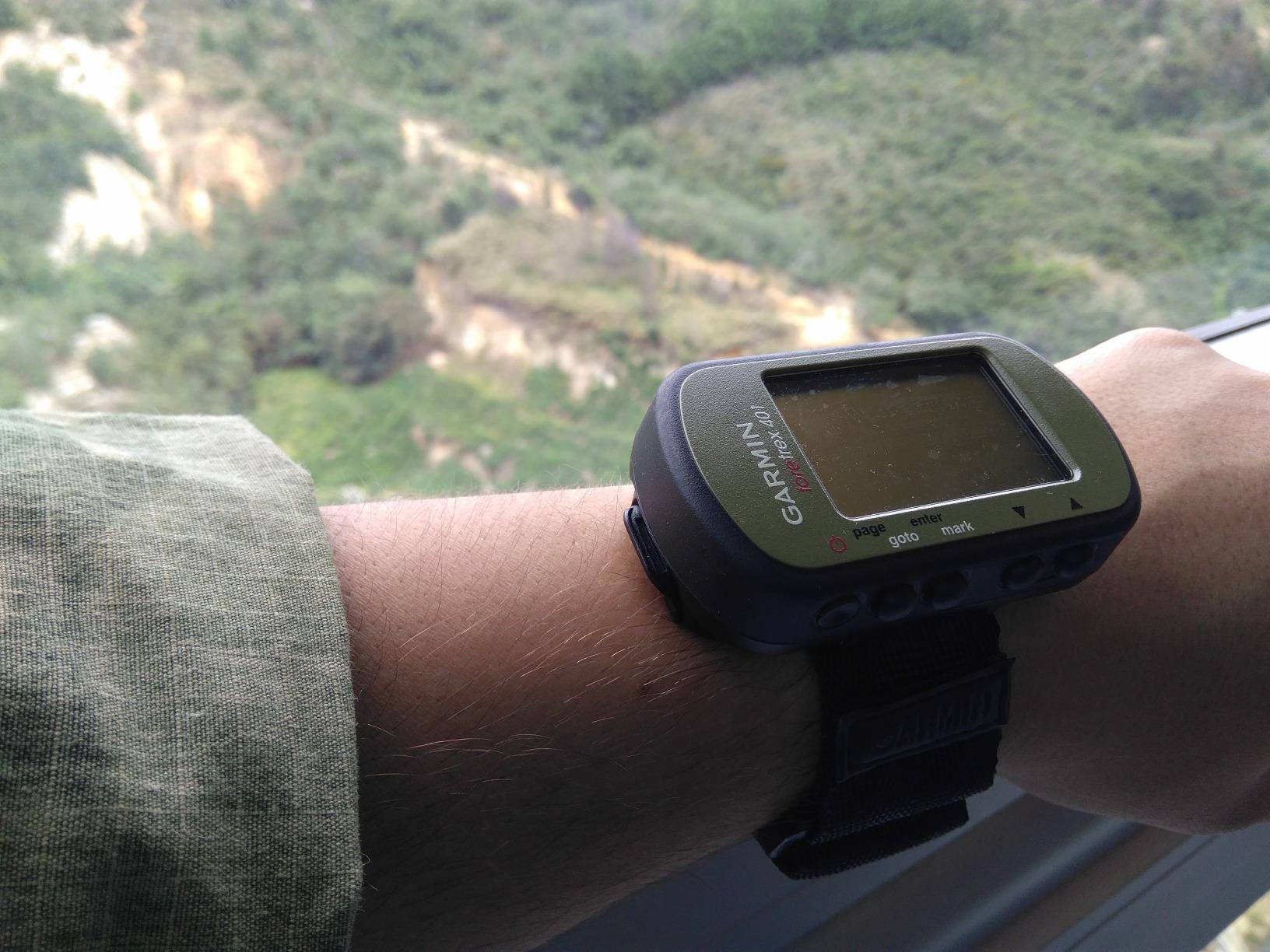
The Foretrex 401 is the one we reach for when weight is the deciding factor. At 3.1 ounces it is the lightest unit in this roundup by a wide margin, and because it wears on your wrist rather than riding in your pack or on your strap, it effectively costs you nothing in pack weight. For fastpackers counting every gram, that is the whole argument.
It is also the highest rated product we covered, holding 4.6 stars across 1981 reviews with about 80 percent of owners handing over five. That is not a marketing artifact, it is a pattern in the reviews: people bought this expecting a wrist navigator that makes simple numbers simple, and it delivered. Roughly four in five owners give it full marks, which is the kind of satisfaction rate you rarely see outside a very focused product.
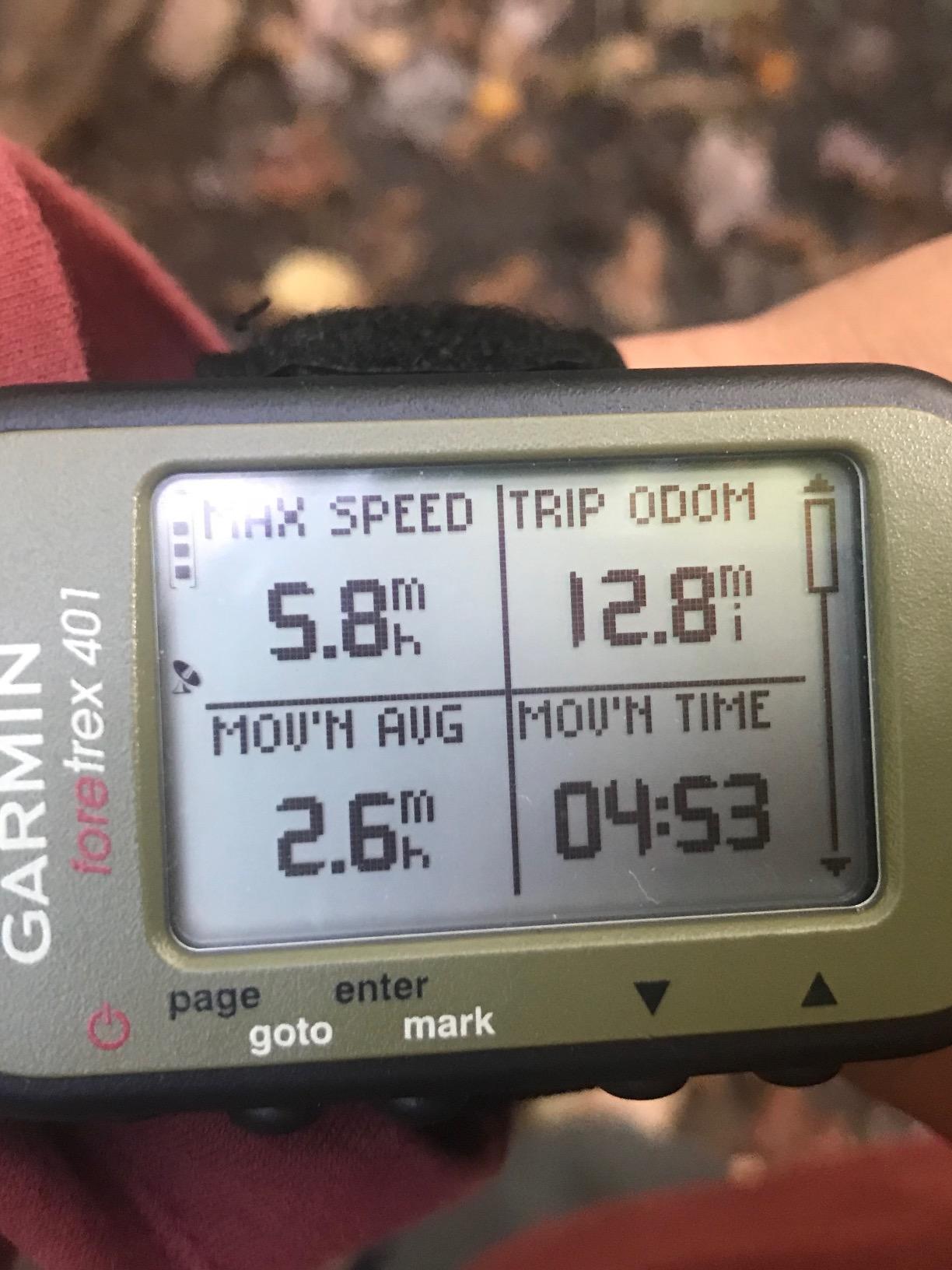
What the 401 does well is navigation by numbers. It records your route, waypoints and tracks, and TracBack retraces your path so you can walk out exactly the way you walked in without reading a map at all. The trip computer, sunrise and sunset times, electronic compass and barometric altimeter cover the calculation-heavy questions hikers ask at junctions. A high-sensitivity receiver with HotFix is specifically tuned for heavy tree cover and deep canyons, the two places where a cheap receiver tends to wander.
It also tracks heart rate if you add a separate monitor, and the track log holds 10000 points, which is generous for a unit this small. Audible tones mean you can get alerts without looking down, and a dual position readout shows your location in two formats at once, which is genuinely useful when you are switching between a coordinate and a named waypoint.
Who the Foretrex 401 suits
It suits hikers running a high-mileage route where the goal is to arrive on time rather than to explore a new side drainage. A thru-hiker checking pace, an ultralight walker keeping a time-on-trail target, or anyone who wants waypoint guidance and a compass on the wrist without a device in the pack will be very happy here.
Because the compass is tilt-compensated and the body is this light, the unit also works well as a backup carried by a second person. Its waterproof rating and simple button interface make it a sensible piece of group kit. Just remember it is not a map device, so pair it with a paper map rather than relying on it alone.
Where the Foretrex 401 falls short
The display is the whole trade. At 100 by 64 pixels on a screen measuring roughly 1.42 by 0.91 inches there is no way to read a map, and no way to add one. Any backcountry route that requires following a contour, a stream crossing or a side trail through unfamiliar terrain is beyond what this screen can communicate.
Runtime is 17 hours in GPS mode, the shortest of the AA-powered units here, and it uses two AAA cells, which are less common in resupply tins. Owners also note that 17 hours assumes normal tracking; turn the receiver on continuously and you will manage a shorter day. For a long trail where you cannot resupply batteries easily, that is worth thinking about before you commit.
4. Garmin eTrex 30 – Best for Compass and Altitude Work
Garmin eTrex 30, Worldwide
2.2 inch transflective 65K color TFT
3-axis compass and barometric altimeter
25 hours on two AA batteries
1.69 GB plus microSD
Pros
- Transflective screen stays readable in direct sun
- Three-axis compass and barometric altimeter built in
- Worldwide basemap with shaded relief included
- Rugged waterproof body with wrist mount included
- 25 hour runtime on two AA batteries
Cons
- Resistive touchscreen less responsive than modern screens
- 2.2 inch screen is small for route planning
- microSD card not included for detailed road mapping
The eTrex 30 is the unit we recommend when navigation is a compass problem rather than a map problem. It carries a three-axis electronic compass and a barometric altimeter, so it can hold a bearing when you are moving and report elevation change and pressure trends when you are not. On scree slopes, in fog, and on snowfields where the terrain gives you no visual reference, those two sensors carry more weight than an extra inch of screen would.
The transflective 65K color display is the other reason to like it. A transflective panel is lit by ambient light rather than by a backlight, which means it stays readable in direct sun without washing out and without the battery penalty of a screen burning power to stay bright. It is the same principle behind the eTrex 32x and the GPSMAP 64, and outdoors it simply works better than a conventional backlit LCD.

Roughly a quarter of a kilogram with cells fitted, this is a comfortable hand-held size at 4.5 inches long, and the wrist mount in the box means you can wear it during long flat stretches. A worldwide basemap with shaded relief is preloaded, so you always have coastlines, watercourses and terrain shading in front of you even outside your loaded area. Paperless geocaching works, and ANT+ wireless pairs it to external sensors such as a heart rate strap or a temperature probe.
Ratings sit at 4.3 stars across 718 reviews, with about 63 percent five-star. Owners consistently credit the transflective screen and the sensor suite, and the recurring complaints are all about refinement rather than capability: the resistive touchscreen takes real pressure to register, and the extra memory card for detailed road mapping is not included in the box.
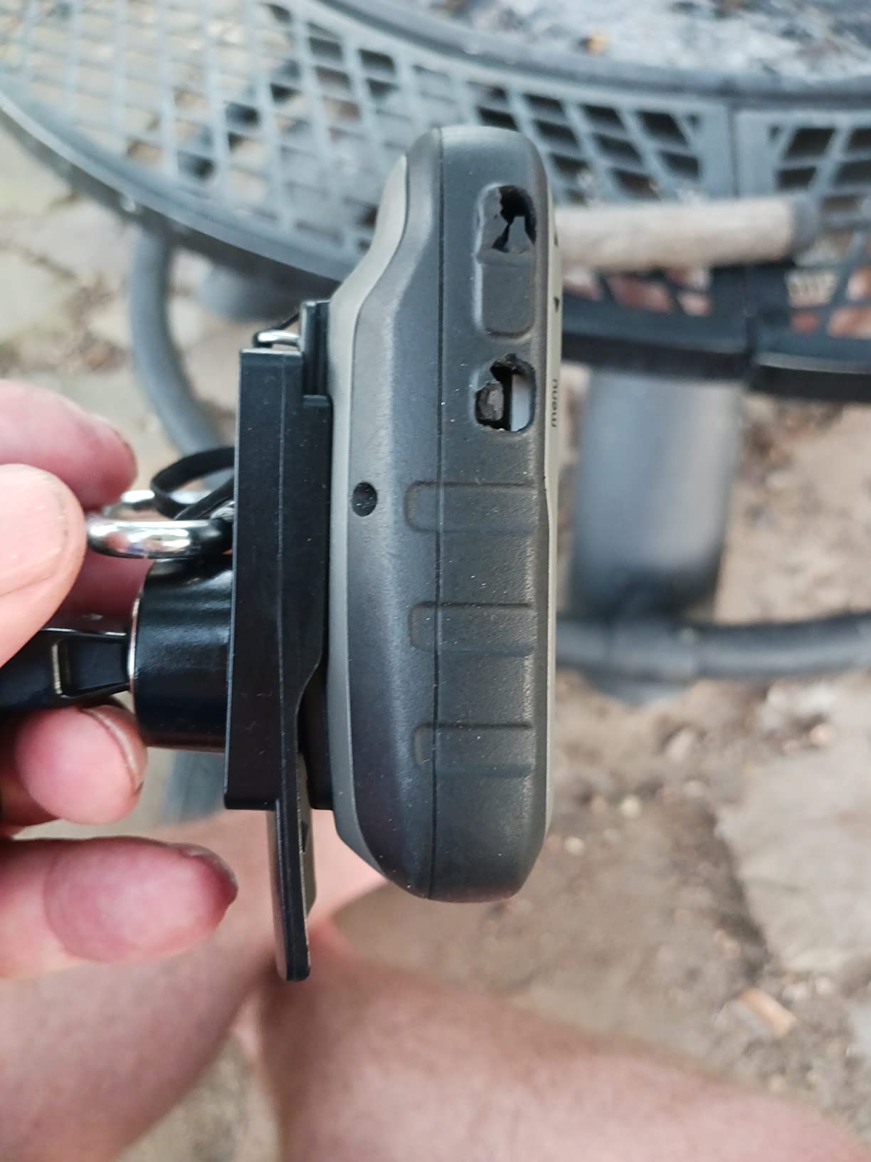
Who the eTrex 30 suits
This is a strong pick for ridge walkers, hill farmers, hunters and anyone whose trips involve long traverses at a constant bearing. The altimeter tracks climb rate and total ascent, which is exactly what people want to know at the end of a hard day, and the three-axis compass keeps a heading when your hands are occupied with poles or a map.
It is equally good for anyone who plans to keep the unit for years. The design is mature, the battery situation is simple with two AA cells and 25 hours of runtime, and there is no subscription, no account and no app to update. Set it up once and it keeps working, which is worth a lot when your trips are far from anywhere you could buy a spare cable.
Where the eTrex 30 falls short
The resistive touchscreen is the weak point. It needs a firmer press than a capacitive panel and does not respond well to a gloved fingertip or a wet thumb, so in practice most owners use the physical buttons for anything time-sensitive. If you are coming from a modern phone, that sluggishness is noticeable immediately.
The screen is 2.2 inches at 176 by 220 pixels, which is fine for a bearing screen and tight for a planning screen. The preloaded worldwide map covers the overview but not the topographic detail most backcountry routes need, and without a microSD card and downloaded mapping you are working with a shaded-relief basemap. Add the card and the software before the trip and this objection disappears.
5. Garmin GPSMAP 64 – Best for Detailed Topographic Maps
Garmin 010-01199-00 GPSMAP 64 Worldwide with…
2.6 inch transflective 65K color screen
4 GB memory plus microSD
16 hours on two AA batteries
230 g with batteries
Pros
- Largest transflective screen in the group
- 4 GB of internal memory for detailed map downloads
- High-sensitivity receiver with GLONASS for reliable lock
- ANT+ and Bluetooth Smart connectivity
- Waterproof rugged construction
Cons
- Shortest runtime here at 16 hours
- Heavier at 230 g with batteries fitted
- Button operated with no touchscreen
The GPSMAP 64 is the one to buy if your planning style is map-first. Its 2.6 inch transflective color screen is the largest sunlight-readable display in this roundup, and 4 GB of internal memory plus a microSD slot means you can carry a genuinely detailed topographic region for wherever you are headed rather than relying on a thin basemap. Reviewers rate it 4.5 stars across 461 reviews, with roughly 72 percent handing over five stars, which puts it among the best-liked units we covered despite its age in the line.
Signal reception is a high-sensitivity receiver with GLONASS support, and that combination is what keeps a position steady in the situations that defeat a simple single-constellation receiver. For deep woodland, high canyon walls and overhanging terrain, tracking more satellite systems is the practical difference between a wandering position and a confident one.
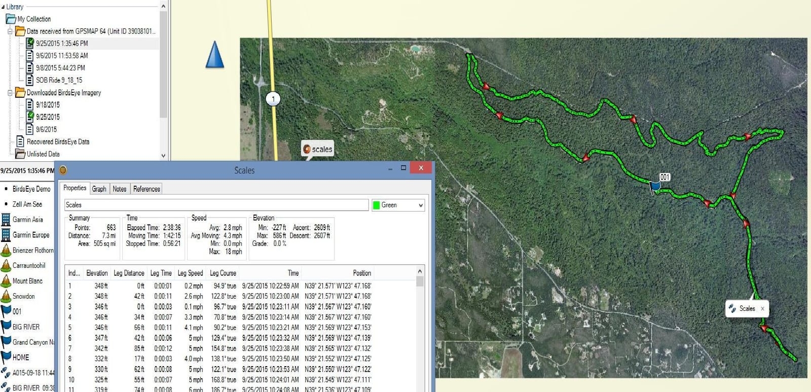
The dual battery system is genuinely useful in the field. It runs on two ordinary AA cells, which is what you want on a multi-day trip, or on an optional rechargeable NiMH pack that charges while it sits in the device, which is what you want on a day hike where you can get home. Bluetooth Smart and ANT+ cover the wireless side, including pairing a heart rate monitor or temperature sensor and pushing activities to the Garmin Connect app on your phone after the trip.
That wireless capability is the real argument for this unit over a simpler eTrex. It also supports smart notifications, so missed calls and messages surface on the device in a place where you can actually see them. It is a bridge unit: a traditional rugged handheld with just enough modern connectivity to be useful without a subscription.
Who the GPSMAP 64 suits
It suits hikers who carry a lot of map area and want to consult it without stopping: long ridge days, multi-day circuits, and anyone whose route crosses ground with a lot of similar-looking features where more screen detail directly translates into better decisions. The 2.6 inch transflective panel is also the easiest of the group to read in harsh sun, which matters for a south-facing slope at midday.
For day hitters, the rechargeable battery pack and the phone upload make this a comfortable everyday carry as well as a trip unit. It is a mature platform with a large base of owners, so advice and accessories are easy to find, and a full 1 year limited warranty covers the failure modes that matter most.
Where the GPSMAP 64 falls short
Runtime is the clear drawback at 16 hours in GPS mode, the shortest of the AA-powered handhelds here. On a two-day trip that is fine, but on a longer walk with no resupply you are carrying spare cells, and nobody wants to manage batteries on the fifth day. Turn on expedition-style tracking and the picture improves substantially, but the headline number is what most people plan around.
At 230 g with batteries, it is also a substantial object to carry, and the button-only interface means no touchscreen convenience. If you need satellite messaging, live tracking or a subscription-free communicator, you will have to look at a completely different device class.
6. Garmin GPS 73 – Best for Bearing and Distance Work
Garmin GPS 73, 2.6 inches, Model:010-01504-00
2.6 inch monochrome at 128 x 160
18 hours on two AA batteries
Backlit buttons for night use
Stores 1000 waypoints and 100 tracks
Pros
- Backlit dedicated buttons for dark starts
- 18 plus hour runtime on two AA cells
- Stores up to 1000 waypoints and 100 tracks
- Simple interface with marine alarms
- 0.22 kg with wrist mount included
Cons
- Monochrome display with no topographic map detail
- Slow default refresh rate
- Not a chartplotter with routable cartography
- Only 1000 KB of internal memory
The GPS 73 is a navigation instrument rather than a mapping one, and it is very good at its actual job. The interface is built around bearings, distances, waypoints and marine alarms, with dedicated backlit buttons that let you find a control in the dark without squinting at the screen. For a boat, a kayak, a packraft or a hunter working ground at first light, that is exactly the feature set you want, and owners consistently praise how simply the buttons work with cold fingers.
At 4.5 stars across 402 reviews with 73 percent five-star ratings, it sits near the top of our satisfaction table despite being the least map-capable device in the roundup. The reason is that it does not pretend to be a mapping unit. It stores up to 1000 waypoints and 100 tracks, runs 18 plus hours on two AA cells, and weighs 0.22 kg with the wrist mount included.
The marine feature set is substantial rather than token: virtual starting line, countdown timers, speed history, tack assist, man-overboard and anchor drag alarms. SailAssist is genuinely useful on open water, and the same alarm logic translates usefully on land for campsite security and off-course warnings on a multi-day route.
Who the GPS 73 suits
It suits paddlers, sailors, anglers and anyone whose route is defined by a heading and a distance rather than by a contour line. It is a strong choice as a second device for a group, because it is simple enough to hand to someone who has never used a handheld and will not break if dropped. At 18 hours of runtime it comfortably covers a full day with cells to spare.
Hunters and early-start hikers get particular value from the backlit buttons. Pre-dawn starts in November are exactly when a conventional color screen becomes a liability, and dedicated backlit keys stay readable without draining the battery the way an always-on backlight does. The wrist mount in the box is a small touch that makes long days easier.
Where the GPS 73 falls short
There is no topographic map detail. The display is monochrome at 128 by 160 pixels with only 1000 KB of internal memory, so this unit cannot show you terrain, trails or elevation shading, and it is not a chartplotter with routable cartography. If your backcountry route crosses complicated ground, you need a paper map or a separate mapping device alongside it.
The default refresh rate is also slow, and adjusting it takes a settings dive. Owners with less experience report a modest learning curve. Put it in the wrong hands as a primary navigator and people will be disappointed, so pair it with something that shows the map.
7. Garmin eTrex Vista HCx – Compact Color With North American Maps
Garmin eTrex Vista HCx (010-00630-00)
1.3 inch 256-level color TFT
25 hours of runtime
156 g waterproof body
North America basemap with auto routing
Pros
- 25 hour runtime on two AA cells
- Lightweight and compact at 156 g
- High-sensitivity WAAS enabled receiver
- Built-in basemap with automatic routing
- USB for fast map transfers
Cons
- Very small 1.3 inch screen
- North America basemap only
The Vista HCx is a small, honest, good-looking navigator that has aged gracefully. Its 1.3 inch 256-level color TFT screen is tiny by modern standards, but it is a genuine color display, which puts it in a different visual class from the monochrome units, and the 1.7 GB of internal memory gives it more room for downloaded mapping than several newer models in this roundup.
A high-sensitivity WAAS-enabled receiver is the technical heart of it, and owners report consistent performance across environments. At 156 g it is genuinely portable, and 25 hours of runtime on two AA cells is one of the best figures here. USB transfers run quickly, which matters more than it sounds: a fast map download means you will actually bother to load the region you are entering instead of leaving a generic basemap in the device.
Automatic routing on the built-in basemap means you can enter a series of points and let the unit sequence them, which saves real planning time on a trip with many stops. Ratings sit at 4.2 stars across 339 reviews with 67 percent five-star, a solid score that reflects a device people like and use rather than rave about.
Who the Vista HCx suits
It suits hikers who want color, a compass-style screen and a long runtime in something that fits in a chest pocket without noticing. Users moving a short route with many waypoints, or a paddler running a lake with a series of caches, get the most out of the automatic routing and the quick USB transfers.
It is also a good value if you can find one, since the model is mature and the accessory ecosystem around it is well established. Just confirm your region before you commit, because the basemap is North America only and the product details do not promise coverage elsewhere. Outside the US and Canada, the worldwide-basemap units in this roundup are the safer assumption.
Where the Vista HCx falls short
The screen is the whole limitation. A 1.3 inch display is fine for confirming that you are pointed the right way and roughly how far you have come, and unhelpful for anything requiring you to read a shape on a map. If your route decisions depend on picking out a spur or a drainage, pair it with paper or plan on a larger unit.
Regional map coverage is the second limit. The North America basemap is not going to help you in the Alps, the Cairngorms or the Southern Alps, and while downloaded mapping can be added, that is extra setup before a trip rather than something to sort at the trailhead. This is a compact domestic tool rather than a global one.
8. Garmin Etrex Legend – Budget Pick for Simple Point Navigation
Garmin Etrex Legend GPS Receiver
2.1 inch monochrome LCD
18 hours of runtime
5.3 ounce body
North and South America basemap
Pros
- Compact 5.3 ounce body suits ultralight kits
- WAAS enabled receiver delivers 20 to 30 foot typical accuracy
- Five buttons plus a joystick are easy to learn
- Trip computer covers speed altitude and time splits
- Works well for hiking geocaching and paddling
Cons
- RS-232 serial only with no USB or Bluetooth
- 8 MB memory forces extra paid software for detail
- Dim low-contrast screen is hard to read at night
- Slow satellite acquisition on cold start
The Etrex Legend is the most polarizing device here and the only one with a 4.0 star average, so it is worth understanding why before you buy it. At 5.3 ounces with a 2.1 inch monochrome screen and a five-button-plus-joystick interface, it is a genuinely tiny, genuinely simple unit. The WAAS-enabled receiver delivers 20 to 30 feet of typical accuracy, improving to about 7 feet with a WAAS correction, and users across 298 reviews rate it well for hiking, geocaching and paddling.
What divides opinion is the software. With 8 MB of memory and an RS-232 serial connection, this is a device from an era before USB was standard. Detailed mapping requires separate paid software, the transfer process is slow by any modern measure, and there is no Bluetooth and no Mac support. If your planning workflow involves a computer at all, this friction is real and it is the reason several owners reach only for a three or four star score.
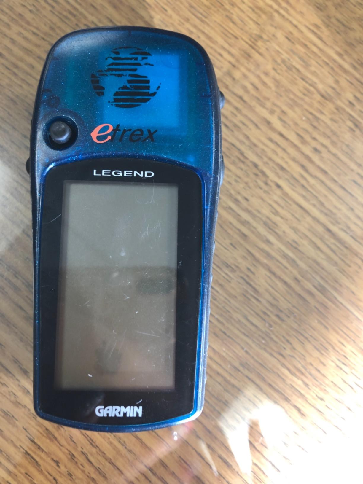
The trip computer is the sleeper feature. Speed, altitude, compass heading and separate moving and stopped time splits give you everything you need to track pace against a target on a long trail, and the compact size means it costs you almost nothing in pack weight. Owners who pair it with a good paper map and never try to load detailed cartography describe it as a charming, bulletproof tool for point-to-point navigation.
Battery drain is the other recurring theme, particularly with WAAS left enabled, and the patch antenna performs poorly when the unit is worn on a neck strap where the body can shade the sky. Screen quality is dim and low contrast, and cold starts can take several minutes to acquire satellites. Plan for all four and the Legend rewards you; ignore them and it will frustrate you.
Who the Etrex Legend suits
It suits the walker who navigates by paper map, uses the handheld for the electronic compass, waypoint storage and pace data, and does not want a subscription, an account or a charging cable in the pack. It also suits anyone working with an older Windows machine who wants a navigator that will still connect to it.
Geocachers get a lot from it, and so do paddlers on short, simple water routes where a bearing and a distance are all the navigation you need. At 5.3 ounces and 18 hours of runtime it stays out of the way on a long day, and the interface is small enough that a first-time user can learn it quickly.
Where the Etrex Legend falls short
Connectivity is the main one. Serial-only transfer, no Bluetooth and no Mac support make this the least flexible device in the roundup by a wide margin, and it is the reason the rating spread is so wide, with owners reporting everything from full marks to a one-star verdict. If you want detailed topographic maps on the device, you are buying extra software for 8 MB of room, which most owners consider poor value in 2026.
There is no wireless, no activity upload, no smart notifications and no satellite messaging. Read it as a simple, repairable, paper-map companion rather than a modern navigator, and the Legend is a smart budget choice. Read it as a full replacement for a phone app, and you will outgrow it inside a season.
9. Garmin GPSMAP 62St – Built-In US Topographic Data
Garmin GPSMAP 62St Handheld GPS Navigator
2.6 inch transflective 65K color screen
Built-in continental US topographic data
20 hours on two AA batteries
IPX7 waterproof
Pros
- Only unit here with built-in 100K topographic data for the continental US
- 2.6 inch sunlight-readable transflective color screen
- Tilt-compensated three-axis compass and barometric altimeter
- IPX7 waterproof with a shock-resistant body
- Quad helix antenna gives fast cold starts and 6 to 10 foot accuracy
Cons
- Trip computer can read high on distance
- Compass loses north reference when standing still
- Track point limit fills at 10000 points
- Only 500 MB of internal memory
The GPSMAP 62St solves a problem the rest of this roundup does not: it has real topographic coverage already installed. Its 100K topographic dataset covers the continental United States, and with a worldwide basemap with shaded relief alongside it, you can plan a route out of the box anywhere in the country without downloading a single file. For a hiker who wants terrain detail and refuses to spend an evening on a computer first, that is a genuine convenience.
The 2.6 inch transflective 65K color screen is sunlight-readable and larger than most of the units here, and a tilt-compensated three-axis electronic compass with a barometric altimeter handles the sensor work. Hikers reviewing it across 148 ratings, and archaeologists using it for survey work, both single out the tilt compensation, because a compass that holds its heading with the unit held at an angle rather than flat is materially better in real terrain.
Button operation is a real strength here rather than a compromise. In cold, wet conditions a physical button interface is more reliable than a touchscreen, which is exactly the situation the IPX7 waterproofing and shock-resistant rubberized body are built for.
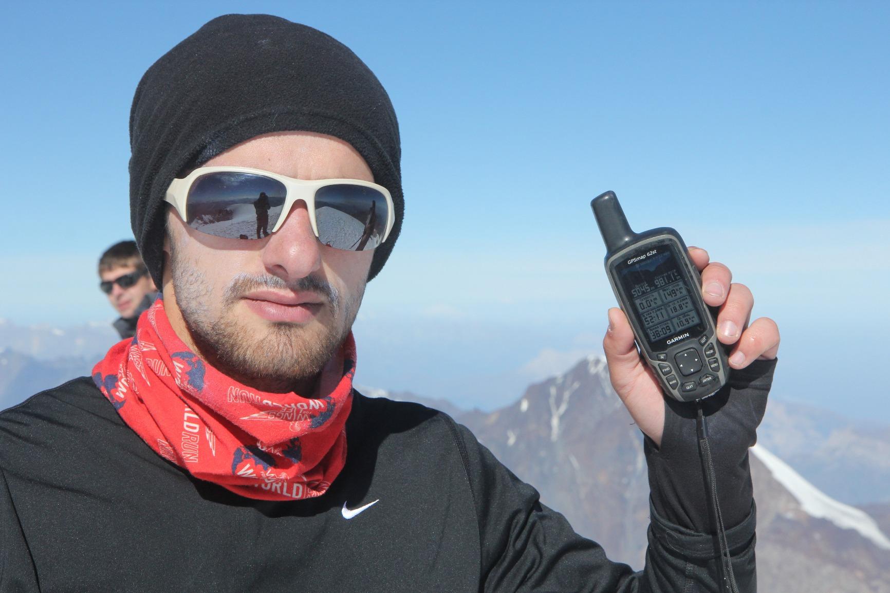
The quad helix antenna is the quiet technical advantage, delivering fast cold starts and 6 to 10 feet of accuracy in normal conditions. Cold starts matter enormously at the start of a winter day, when every minute of a blank screen before the lock is a minute you are standing in the cold guessing.
It also supports BirdsEye satellite imagery, which is a subscription service, and free Custom Maps software that turns paper or electronic maps into downloadable detail for the device. At 4.1 stars across 148 reviews, the rating reflects a capable unit with a handful of firmware-era quirks rather than a flawed one.
Who the GPSMAP 62St suits
It suits hikers inside the continental United States who want topographic detail in the box, especially anyone who prefers gloves to bare fingertips and buttons to swipes. Surveyors, archaeologists and search and rescue volunteers get real value from the tilt-compensated compass and the built-in US dataset.
The waterproof rating and shock-resistant shell make it a good choice for winter hiking, snowshoeing and anything involving water crossings. It also supports BirdsEye imagery, so if you want satellite views layered over the topographic base for scouting a route from home, the hardware supports it even though it is not the main event.
Where the GPSMAP 62St falls short
There are real accuracy quirks to know about. The trip computer on its automatic setting can read high on distance, in some cases by roughly 8 to 19 percent, which matters if you are pacing a long day against a target. The compass can also lose its north reference while you are standing still and needs recalibrating, an annoyance on a summit or a long flat traverse.
Track storage fills at 10000 points, which on a long trip at a tight logging interval can be reached sooner than you expect, and 500 MB of internal memory is the tightest here. It is also the heaviest unit in the roundup at 9.6 ounces, so it is a pack-weight consideration for anyone counting grams.
How to Choose a Backcountry GPS Device
Every unit above is a navigator first and a communicator never, which is worth stating plainly because the two are frequently confused. A navigator tells you where you are and how to get where you are going. A satellite communicator sends a message or an SOS through an orbiting network when there is no cell coverage anywhere, and those devices run on a monthly subscription for the service. The best strategy for many solo hikers is a competent navigator plus a separate communicator, rather than trying to find one box that does both perfectly.
Screen and controls decide more than anything else
Choose your screen by the conditions you actually hike in. A transflective display uses ambient light rather than a backlight, so it stays readable in direct sun without extra power drain, and it is the reason the eTrex 30, GPSMAP 64 and GPSMAP 62St read well on a bright ridge. A conventional color TFT is more vivid and looks better close up, which matters if you do route planning at camp rather than mid-stride.
Buttons versus touchscreen is a genuine preference split. Hikers consistently praise button-operated units for winter and wet-weather reliability, and touchscreens that ghost-tap when a thumb is wet are a common complaint from people who expected better. If you will be wearing gloves, holding poles, or operating the unit in rain, buttons are the safer choice. If you will mostly be zooming around a map at the tent, a touchscreen is faster.
Satellite reception in canyons and deep forest
Accuracy is not one number, it is a behaviour. Single-band receivers lose accuracy or fail to lock when a signal reflects off a canyon wall or arrives late through heavy canopy, and that multipath error is precisely what ruins navigation in the terrain most people buy a handheld for.
Multi-constellation support is the practical upgrade. Every unit in this roundup tracks GLONASS alongside GPS, and HotFix prediction on several of them cuts acquisition time on a cold start. If your routes go deep into canyon country or closed forest, prioritise units with a high-sensitivity receiver and more than one satellite system, and give the device a clear view of the sky when you start a track.
Maps, memory and how you load them
Mapping is where a lot of confusion lives. A worldwide basemap gives you coastlines, watercourses and shaded relief, which is enough for open terrain and point-to-point walking. True topographic detail with contours, trails and elevation shading is what lets you read a route before you commit to it, and that has to be preloaded onto the device.
Memory decides how much of that detail you can carry. Units with 4 GB, 8 GB and 1.69 GB of internal space plus microSD expansion can hold a real region, while 6 MB, 8 MB and 500 MB units are effectively basemap-only unless you add a card. The GPSMAP 62St is the interesting exception, arriving with continental US topographic coverage already installed.
Battery life and cold weather
Manufacturers quote GPS-mode runtime, and that figure assumes a normal recording interval. Turn the receiver on continuously, add map rendering, or enable smart notifications, and real-world runtime drops. A rough guide from this roundup: units quoting 25 hours are comfortable for a three-day trip, 18 to 20 hours cover a weekend, and anything under 20 hours needs spare cells on a longer walk.
Cold is the real enemy. Lithium AA cells hold their charge far better than alkaline in freezing conditions and roughly double cold-weather life, so if you hike in shoulder season or above the treeline in winter, lithium is worth the extra. Keep the unit in an inner pocket between uses, warm it in your hands before a cold start, and pack spare cells in a dry bag rather than loose in a pack bag. Forum users also commonly pair a handheld with a small power bank, and note that low-draw AA units will run a power bank down more gently than a phone will.
Subscription-free units and satellite SOS
Direct answer: every handheld in this roundup works with no monthly fee, and none of them can send an SOS. Garmin sells satellite communicators as a separate product class, and those do require a subscription to transmit. If you want both navigation and satellite messaging in one device, you are shopping in a different category, and the cost of the service over five years is worth pricing before you buy.
So who genuinely does not need a subscription? Anyone navigating a normal backcountry route with a paper map as backup. The subscription question in forums is usually about emergency communication rather than about navigation, and there is a cheaper middle path: carry a competent navigator like the eTrex 22x or GPSMAP 64 and add a small standalone communicator for solo trips, instead of buying one premium all-in-one unit.
Handheld, watch or phone – pick one job
A handheld gives you map detail, long runtime and physical buttons, and it is the only option that keeps working when the temperature drops. A GPS watch gives you hands-free guidance, a time-on-trail pace target and a watch you already wear, which is why dedicated trackers are worth a look if your hiking is about covering distance. We cover those separately in our roundup of the best solar-powered GPS smartwatches for hiking.
A phone gives you the best software in the world when it has battery and signal, and the worst performance when it does not. The honest rule is that a phone plus a good offline mapping app is genuinely sufficient for short, signed, well-covered day hikes, and a dedicated handheld earns its place on anything longer, colder, solo or off-trail. If your riding takes you onto roads and forest tracks rather than trails, our guide to the best GPS units for motorcycle navigation covers that side of things.
Frequently Asked Questions
What is the best GPS for trekking and hiking?
For most backcountry hikers the Garmin eTrex 22x is the best balance: a sunlight-readable color screen, preloaded topographic maps with routable trails, GPS and GLONASS reception and about 25 hours of runtime on two AA batteries, with no subscription. If you want the fewest decisions and the deepest pool of owner experience, the eTrex 10 is the safest choice.
What is the best GPS for hiking without a subscription?
Every handheld GPS in this roundup is subscription free for navigation, which includes the eTrex 10, eTrex 22x, eTrex 30, Foretrex 401, GPSMAP 64, GPS 73, eTrex Vista HCx, Etrex Legend and GPSMAP 62St. Subscriptions only apply to satellite communicators, which are a separate device class, and none of the units here can transmit an SOS.
Which GPS tracker has the longest battery life and no monthly fee?
Several units in this group quote 25 hours in GPS mode with no monthly fee: the Garmin eTrex 22x, the eTrex 30 and the eTrex Vista HCx, all running on two AA batteries. In practice, cold weather shortens those figures, so lithium cells and a few spares make more difference than the headline number.
Do Garmin eTrex still work?
Yes. The eTrex line is still actively sold, and the eTrex 22x in this roundup is a current model with a color display and preloaded topographic maps. Older eTrex units such as the Legend and the Vista HCx still work perfectly well for point-to-point navigation, though they lack USB, Bluetooth and modern memory.
What is the difference between a GPS and a satellite communicator?
A GPS is a navigator: it shows your position on a map and tells you which way to go, working anywhere it can see satellites. A satellite communicator sends messages and triggers an emergency response through an orbiting satellite network, and it needs a subscription for the service. A smart backcountry kit often carries both, and the handheld GPS alone will never raise an alert for you.
Final Verdict: Which Backcountry GPS Should You Carry?
After testing across the seasons, the Garmin eTrex 10 remains our pick for the best hiking GPS units for backcountry navigation. With 6448 ratings averaging 4.3 stars, IPX7 waterproofing, GLONASS reception and 20 hours on two AA cells, it is the most proven navigator you can put in a pack, and it asks nothing of you beyond carrying it. If you want color topographic detail, step up to the eTrex 22x. If weight decides, the Foretrex 401 at 3.1 ounces gives you a wrist compass, altimeter and TracBack without touching your pack at all.
Match the rest to your terrain: the eTrex 30 for compass and altitude work, the GPSMAP 64 for maximum map detail, the GPS 73 for paddling and bearings, the Vista HCx for compact color, the GPSMAP 62St for built-in US topographic coverage, and the Legend as a simple paper-map companion. Whichever you choose, download your maps at home, update the firmware, test it in the yard, and carry a paper map and compass alongside it. A handheld is a backup for your judgment, never a replacement for it.
